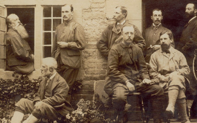
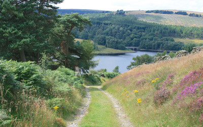
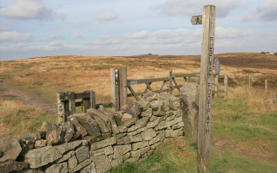
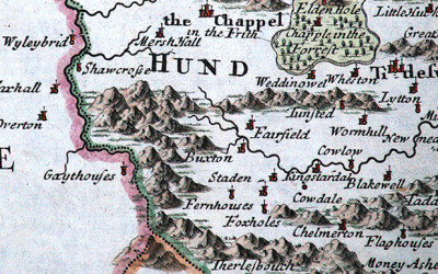
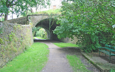
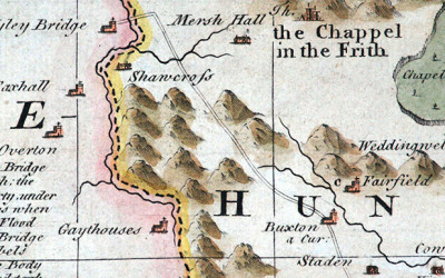
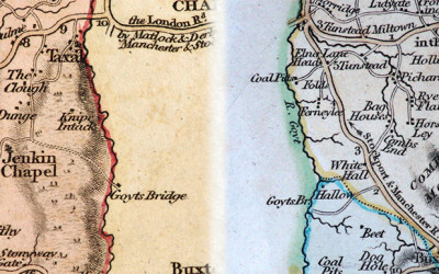
Corrie’s postcards

Corrie’s postcards

Corrie’s postcards All the postcards shown here were kindly sent to me by Corrie. They feature the drowned hamlet of Goyt’s Bridge, as well as the Goyt all the way from Derbyshire Bridge to Taxal. Click on any image to...
The stepping stones

The stepping stones

Above: I’ve highlighted the camera view in green. The photographer was standing beside the small packhorse bridge, alongside Wildmoorestone Brook as it joins the River Goyt. Goytshead Farm is just behind. The stepping stones #1 Many thanks to Mike for...

Walk maps

Goyt Valley walks maps I created these maps to fill the screen of a typical smart phone, which is why north points in different directions. Click any heading to view detailed step-by-step directions and photos, plus a short ‘Relive’ video. And...
Goyt’s Bridge

Goyt’s Bridge

Goyt’s Bridge views A collection of general views of Goyt’s Bridge; the small hamlet which now lies submerged at the southern end of Errwood Reservoir. Simply click on any image to enlarge, and then scroll through the collection using the arrow keys...
Christopher Saxton (1579)

Christopher Saxton (1579)

Above: This is the very first representation of Goyt’s Bridge – then known as Goythowses (Goyt Houses). Click the map below for a closer view. Above: Map of Derbyshire 1577 by Christopher Saxton (c1543 – c1610). © Devonshire Collection,...
William Hole (1607)

William Hole (1607)

Above: First issued in 1607, this image is copied from the 1637 edition of Camden’s Britannia. Above: Click the map to enlarge. Map courtesy of Copperplate Antique Maps. (Click to view a comprehensive stock of original antique county maps.) William Hole (1607)...
Jan Jansson (1646)

Jan Jansson (1646)

Above: First issued in 1646, this image is copied from Jan Jansson’s ‘Atlas Novus’. Above: Click the map to enlarge. Map courtesy of Copperplate Antique Maps. (Click to view a comprehensive stock of original antique county maps.) Jan Jansson (1646)...
1: Riverside walk

1: Riverside walk

Goyt Valley walk 1: The Riverside Walk distance: 2 miles | Date recorded: March 2011 (updated July 2019)Start point: Errwood Hall car park | Google MapMap app: View on OutdoorActive | Contact me for GPX file Above: click to expand map.Click here to download A4 pdf of...
Goyt views

Goyt views

Goyt Valley views General views around the Goyt Valley, including some of the outlying farms and houses, many of which now lie submerged beneath the the twin reservoirs. Simply click on any image to enlarge, and then scroll through the collection using...
Goyt folk

Goyt folk

Goyt Valley folkPhotos of some of the people who lived and worked in the Goyt Valley before the the construction of the twin reservoirs. Ranging from the Grimshawes of Errwood Hall and their friends and servants, to farm workers and their families. Simply...