

Above: The ford over the Goyt at Taxal, at the northern end of the valley, is a wonderfully scenic spot, and only a short walk from the centre of Whaley Bridge (see walk 5).
Whaley Bridge has an hourly train service on the Manchester to Buxton line, as well as the 61 bus.
Public transport to the Goyt Valley

The Goyt Valley isn’t easy to reach without a car. The 61 bus stops on the main road above the valley, at Goyts Lane on the edge of Buxton and at Shady Oak in Fernilee. From either stop it’s about half a mile down to the valley, and a climb back up at the end of the walk. The simplest option is to start from a town: several walks begin in Buxton or Whaley Bridge, and both have railway stations. If you’re coming by car, see Directions and parking.
At a glance
- Trains: the Manchester Piccadilly to Buxton line calls at Whaley Bridge and Buxton, usually every hour. Macclesfield station, on the West Coast Main Line, is the nearest for the western side of the valley. See train times.
- Bus 61 (Buxton – Whaley Bridge – Glossop): the most useful bus for the valley. Get off at Goyts Lane, on the edge of Buxton, or Shady Oak at Fernilee. It runs roughly hourly during the day. See bus 61 times.
- Bus 58 (Buxton – Macclesfield): normally runs over the moors past the Cat and Fiddle, the nearest stop to the southern end of the valley. See bus 58 times.
- Before you travel: times change, so check the Traveline journey planner or High Peak Buses, especially for weekends and bank holidays.
Map of bus stops and walk start points
Red dots are railway stations, blue dots are bus stops and green dots are where the walks start. Click a dot for details and links to the walks.
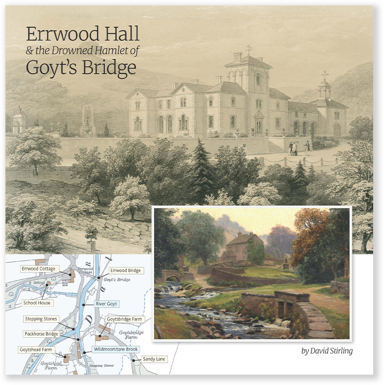
Interested in the valley’s history? My book – ‘Errwood Hall & the Drowned Hamlet of Goyt’s Bridge’ – includes a wealth of photos, maps and information collected during the production of this website.
Walks from Buxton
These walks start within easy reach of Buxton railway station and the Market Place bus stops:
- Walk 9: Buxton to Errwood Reservoir (7.8 miles) starts at Bishop’s Lane in Burbage, about a mile from the station. Bus 58 stops at the end of Bishop’s Lane.
- Walk 12: CandHPR Buxton to Whaley starts at the station and follows the old Cromford and High Peak Railway to Whaley Bridge, so you can catch the train back.
- Walk 21: Buxton to Goyt Valley starts at the Pavilion Gardens.
- Walk 23: Corbar to Errwood Reservoir starts on Corbar Road, a few minutes from the 61 stops at Cavendish Hospital.
- Walk 25: Buxton to Burbage Edge starts at The Crescent.
From the 61 bus
Goyts Lane is on the A5004 at the edge of Buxton. Goyt’s Lane leads down into the valley, and the Goyt’s Lane car park, where Walk 10: Old Goyt’s Lane to Errwood and Walk 27: C&HPR short circuit start, is about half a mile away.
Shady Oak, Fernilee is the stop for the northern half of the valley. Walk 30: Joe Brown Numbers North passes the stop, and Fernilee Reservoir is about half a mile below the road.
From Whaley Bridge
Walk 5: Whaley Bridge to Taxal (3.5 miles) is the easiest walk without a car. It starts at the Wharf car park, a couple of minutes from the station, and visits the ford at Taxal. You can extend it by carrying on to Fernilee Reservoir, and even Errwood Reservoir further south.
The southern end: Cat and Fiddle and Derbyshire Bridge
Bus 58 between Buxton and Macclesfield normally runs along the A537 past the Cat and Fiddle Inn. Walk 19: Axe Edge Moor passes close to the stop. There’s no bus stop at Derbyshire Bridge itself, which is a little over a mile from the Cat and Fiddle.
During the 2026 road closure, the 58 was diverted via Long Hill and Rainow. High Peak Buses say the normal route resumed on 18 October 2026, but some timetables still show the diversion, so check before you travel.
Interested in the valley’s history? My book – ‘Errwood Hall & the Drowned Hamlet of Goyt’s Bridge’ – includes a wealth of photos, maps and information collected during the production of this website.