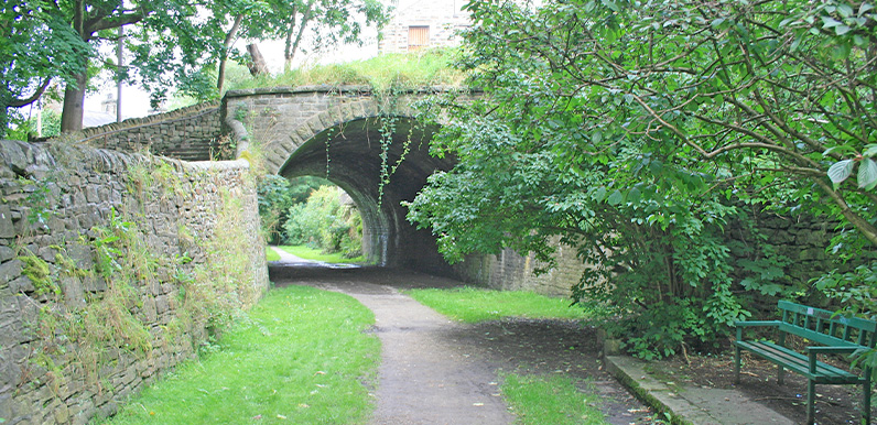
Above: Following the disused railway track on the approach to Whaley Bridge (27 on map).
Length: 9.4mls | Av. time: 4hrs
Start: Buxton Railway Station
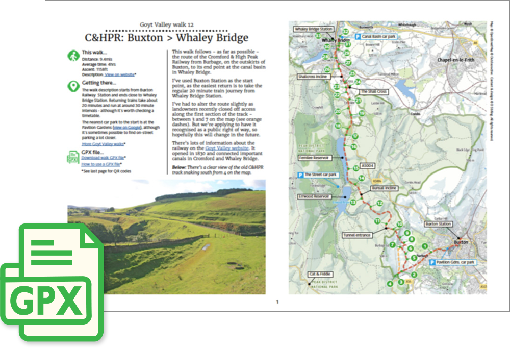
This walk follows – as far as possible – the route of the Cromford & High Peak Railway from Burbage, on the outskirts of Buxton, to its end point at the canal basin in Whaley Bridge.
I’ve used Buxton Station as the start point, as the easiest return is to take the regular train service from Whaley Bridge Station. But it’s easy to park closer to the start.
I’ve also had to alter the route slightly as landowners recently closed off access along the first section of the track – between 3 and 7 on the map. But we’re applying to have it recognised as a public right of way, so hopefully this will change in the near future.
There’s lots of information about the railway on this website. It opened in 1830 and connected important canals in Cromford and Whaley Bridge.
Click to play. Click expand button to view in full screen.
*Note: the Relive was created before the landowners closed the first section along the track from Macclesfield Old Road.
A detailed, step-by-step description and map of this walk are available to download for just £2.50. A walking app GPX file is also available at £1.50. Save on both for just £3.50. All proceeds help cover the hosting costs of this website.