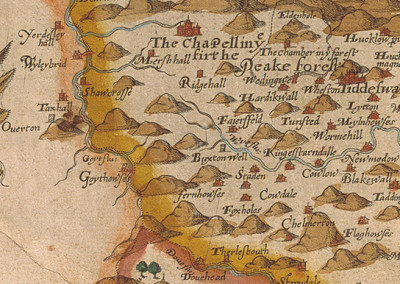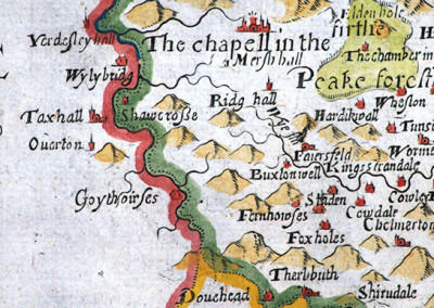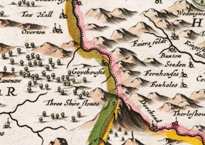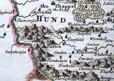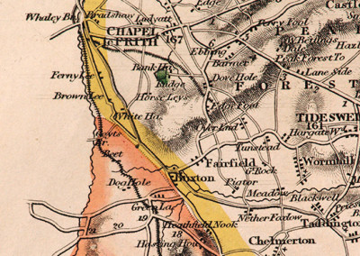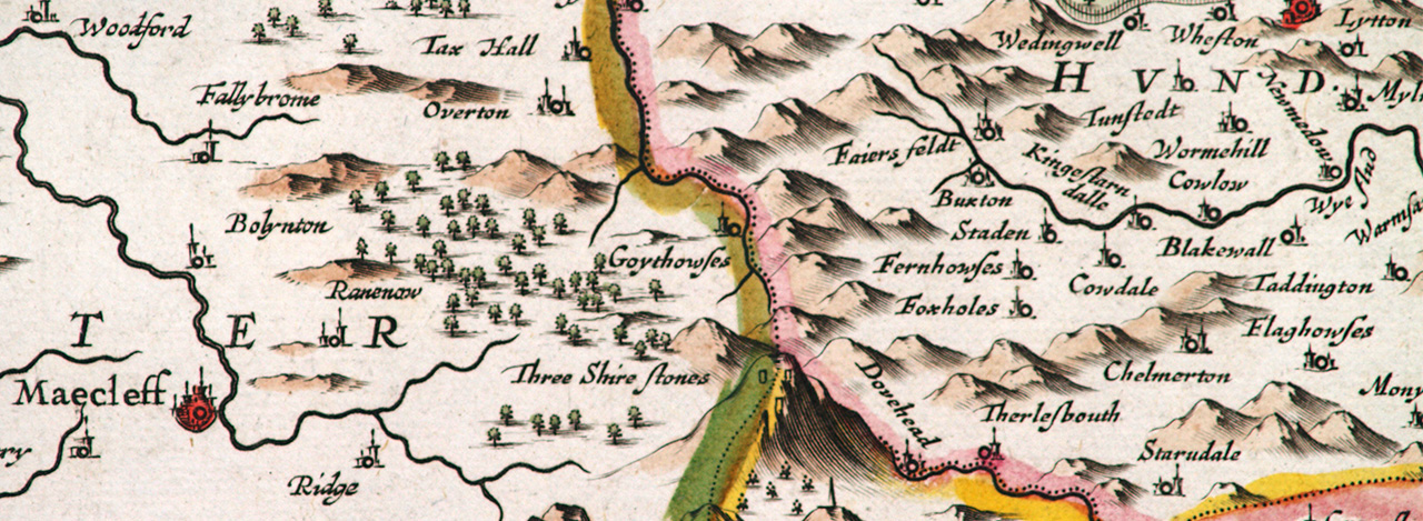
Antique maps
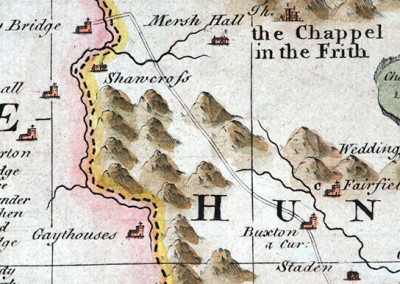
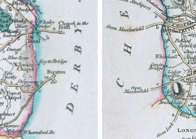
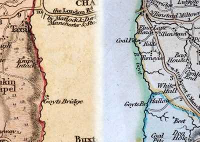
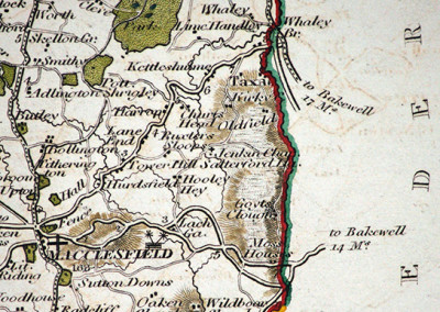
I’ve cropped these historic county maps to show the upper part of the Goyt Valley, between Macclesfield in the west and Buxton to the east, centring on the now submerged hamlet of Goyt’s Bridge. Which in previous times was called Goythouses.
The River Goyt runs from south to north, marking the boundary between Cheshire and Derbyshire. Goyt’s Bridge lay at an important crossing point on this river. There was a Roman road running through the crossing. And in later times, an important packhorse track. Click here for details.
The year in brackets shows when a map was first published. Click on any of any thumbnail to view larger versions with full descriptions.
My grateful thanks to Kevin Welch of Copperplate Antique maps for allowing me to use these images. And for his illuminating descriptions.