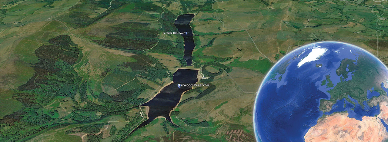
Goyt Valley walk ‘fly-thrus’
I created these Google Earth ‘fly-thrus’ of walks as a bit of an experiment. They use satellite images from Google Earth. But they’re fairly time-consuming to produce, and I’d rather be out there walking than staring at a computer screen! So I’ve decided to use the ‘Relives’ to provide a quick overview of the walks. These are far easier, include better stats, and also allow me to embed photos.
Walk 4: Errwood Hall & the Shrine
3 miles starting from Errwood Hall car park
Walk 6: Taxal Edge
6 miles starting from main car park
Walk 8: Shining Tor
5 miles starting from Errwood Hall car park
Walk 9: Buxton to Errwood
8 miles starting from Buxton
Walk 11: Derbyshire Bridge
3 miles starting from Derbyshire Bridge
Walk 12: High Peak Railway
15 miles starting from Buxton