
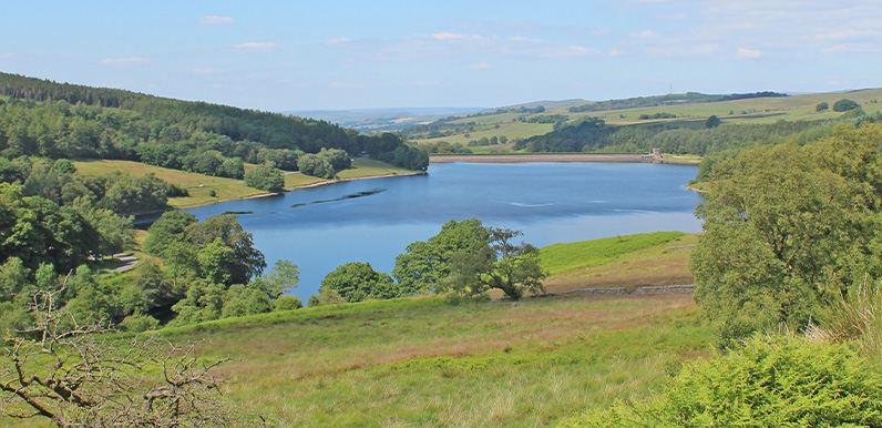
Above: Errwood Reservoir comes into view from point 11 on the map.

Click for a pdf with stage-by-stage details of the route including photos and a map, as well as links to car parks and public transport. A walking app GPX file is also available.
Length: 5.1mls | Av. time: 2.10hrs | Ascent: 243ft
Start: Errwood Hall car park | Google Map
Walk description, map & GPX | Download
A 5.1-mile circuit of Errwood Reservoir – one of my favourite walks in the Goyt Valley, with some wonderful views across this unique Peak District landscape.
The description starts from Errwood Hall car park, but if it’s full there’s usually plenty of space at the larger Street car park, just opposite the road between the two reservoirs.
It can get a bit muddy around point 15 on the pdf map, and the bracken can get thick near the packhorse bridge from mid-July – but the rewards are well worth the effort.
The Riverside Path and the packhorse bridge
The Riverside Path between points 3 and 5 is wheelchair and pushchair friendly, with idyllic picnic spots beside the Goyt. It shows what wonderful scenery was lost when the reservoirs were built.
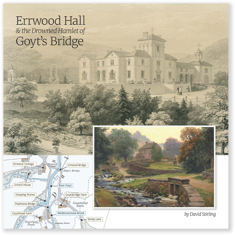
The route then passes the old loading bay for Goytsclough Quarry before crossing the packhorse bridge, moved here from the hamlet of Goyt’s Bridge in 1965.
There are a couple of well-placed benches overlooking the reservoir at point 14, where Old Goyt’s Lane comes down the slope. The route then follows the Bunsall Incline, once part of the Cromford & High Peak Railway.
Crossing the dam between the twin reservoirs, look out over the water – the remains of Goyt’s Bridge lie beneath its far end. Errwood was completed in 1968, some 30 years after Fernilee, and circling Fernilee too would add around 4 miles.
Click for a pdf with stage-by-stage details of the route including photos and a map, as well as links to car parks and public transport. A walking app GPX file is also available.
Route photos
Stages 1-6 of the route. Click any to enlarge and scroll through.
Relive video
Click to play and use the expand option to view in full-screen. More Goyt Valley Relives.
Lovely walk. Pretty muddy around points 8/9 but passable and there are worse places to eat your lunch than overlooking the reservoir at point 11! Very clear instructions and the photos were helpful to avoid taking a wrong turning on to an ‘unofficial’ path.