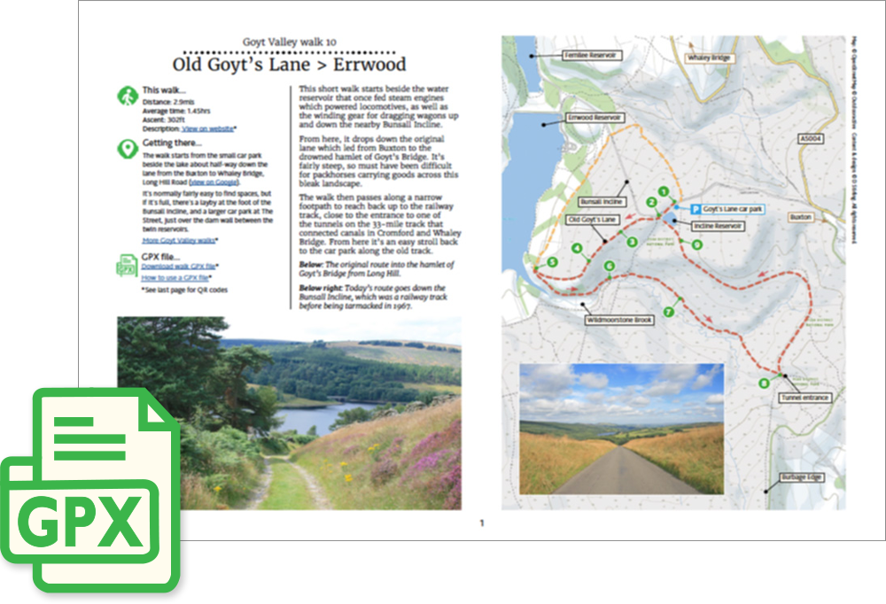
Above: Old Goyt’s Lane was the main route into the hamlet of Goyt’s Bridge before the valley was flooded.
Length: 2.9mls | Av. time: 1.45hrs
Start: Goyt’s Lane car park
This easy, three-mile circular walk follows the old lane which was once the main route into the hamlet of Goyt’s Bridge from Buxton before it vanished under the waters of Errwood Reservoir.
It then meanders across open moorland before returning along the disused track of the Cromford & High Peak Railway line.
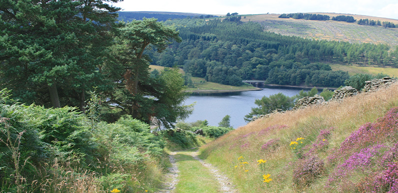
The walk can get muddy along the moorland section, but it’s one of the easiest in this series. It also includes some wonderful views; both across Errwood Reservoir, and from the old railway track.
A detailed, step-by-step description and map of this walk are available to download for just £2.50. A walking app GPX file is also available at £1.50. Save on both for just £3.50. All proceeds help cover the hosting costs of this website.