
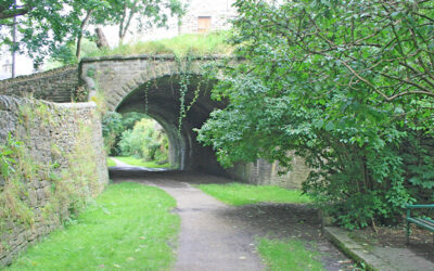
Above: Setting off on walk 21 from Buxton’s Pavilion Gardens to the Goyt Valley.
Goyt Valley 8-12 mile walks
![]() The walks on this page range in distance from eight to twelve miles (and maybe slightly longer). Simply click on any link below for more information on any walk, and to download full directions with a map, as well as a GPX file suitable for all popular walking apps (more on walking apps).
The walks on this page range in distance from eight to twelve miles (and maybe slightly longer). Simply click on any link below for more information on any walk, and to download full directions with a map, as well as a GPX file suitable for all popular walking apps (more on walking apps).
All walks | 1-3 mile walks | 4-7 mile walks | 8-12 mile walks
12: C&HPR Buxton > Whaley
This 9.4-mile walk follows – as far as possible – the route of the Cromford & High Peak Railway from the outskirts of Buxton to Whaley Bridge Canal Basin, returning by train.
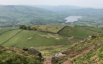
21: Buxton > Goyt Valley
At over nine miles, this walk from Buxton to Errwood Reservoir is one of the longest in the series, but is full of historic interest, passing both Poole’s Cavern and Solomon’s Temple.
22: Rainow > Lamaload Res.
Starting from Rainow, just a few miles west of the Goyt Valley, this 9.4-mile walk passes the ruins of Thursbitch Farmhouse to reach Lamaload Reservoir, returning along picturesque field paths.
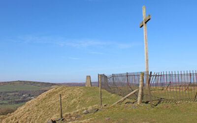
23: Corbar > Errwood Res.
Starting from Buxton’s Corbar Woods, this 8.1-mile walk climbs to the well known landmark of Corbar Cross before dropping down to Errwood Reservoir and returning along moorland paths.
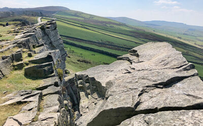
24: Fernilee Res. > Castle Naze
Starting from the foot of the Bunsal Incline, this 12 mile walk passes along Fernilee Reservoir and the hamlet of Taxal before climbing Combs Edge to enjoy some fantastic panoramic views.
26: Windgather > Shining Tor
From The Street car park, this 10.7-mile walk passes Fernilee Reservoir to reach Taxal before turning south to Windgather Rocks and then Shining Tor, returning along Errwood Reservoir.
29: Joe Brown Numbers South
From The Street car park, this 8.4-mile southern section of Joe Brown Numbers orienteering challenge covers a wide expanse of moorland tracks, passing the ruins of Errwood Hall on the way.
30: Joe Brown Numbers North
The more difficult, northern section of Joe Brown’s orienteering challenge covers 11.5 miles and a steep climb up to Castle Naze. Completing the course using only Joe’s clues is quite a feat!