Above: The view from Castle Naze with Combs Reservoir in the distance.
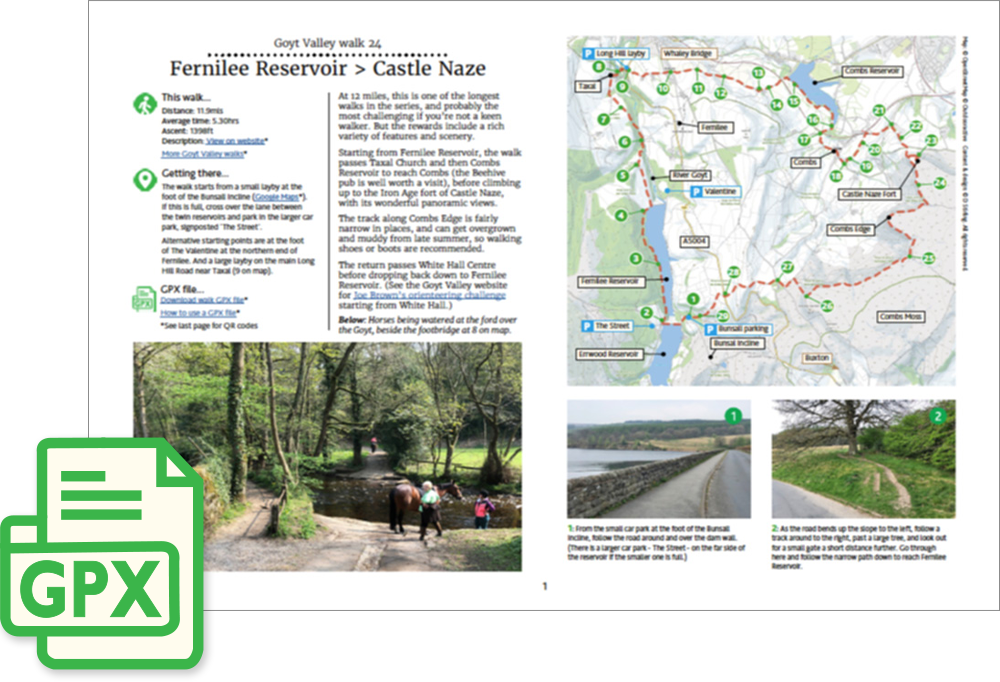
Click for a pdf with stage-by-stage details of the route including photos and a map, as well as links to car parks and public transport. A walking app GPX file is also available.
Length: 11.9mls | Av. time: 5.30hrs | Ascent: 1398ft
Start: Bunsall Incline parking | Google Map
Walk description, map & GPX | Download
An 11.9-mile circular walk from the small layby at the foot of the Bunsall Incline, beside Fernilee Reservoir. If it’s full, there’s a larger car park, The Street, just over the dam between the two reservoirs.
At nearly 12 miles, this is one of the longest walks in the series, and probably the most challenging if you’re not a keen walker. But the rewards include a rich variety of features and scenery.
The route follows the reservoir north – the ruins of the Fernilee gunpowder mill lie under its northern end – then climbs through Hillbridge Wood to Taxal church, which is well worth a visit, though it’s usually locked.
It crosses the Goyt by a footbridge beside a ford, then climbs to the Long Hill road and through Shallcross, where a display board explains the history of the Shallcross Incline on the Cromford & High Peak Railway.
Combs and Castle Naze
Farm tracks and fields lead to Combs Reservoir, and then under the railway to the village of Combs, where the Beehive pub is well worth a visit before the climb ahead.
Castle Naze, an Iron Age fort on the edge of Combs Moss, looks a long way up from below, but the climb isn’t as bad as it seems – and the panoramic views are wonderful. Stick to the ramparts, as the ground inside can be treacherous.
The narrow path along Combs Edge can get overgrown and muddy from late summer, so walking shoes or boots are recommended. One of the clues for Joe Brown’s Numbers is carved inside a small stone hut along the way.
The return drops down past White Hall Centre to the old Roman road, then crosses the Long Hill road and heads down through woodland to the start. Just before the car park, look out for the old railway tunnel on your right.
Click for a pdf with stage-by-stage details of the route including photos and a map, as well as links to car parks and public transport. A walking app GPX file is also available.
Route photos
Stages 1-6 of the route. Click any to enlarge and scroll through.
Relive video
Click to play and use the expand option to view in full-screen. More Goyt Valley Relives.