Above: The view looking south from Windgather Rocks towards Shining Tor in the distance.
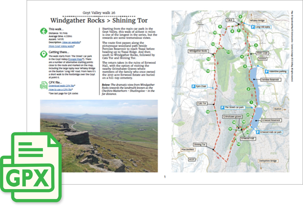
Click for a pdf with stage-by-stage details of the route including photos and a map, as well as links to car parks and public transport. A walking app GPX file is also available.
Length: 10.7mls | Av. time: 4.55hrs | Ascent: 1411ft
Start: The Street car park | Google Map
Walk description, map & GPX | Download
A 10.7-mile circular walk from The Street car park, just over the dam between the two reservoirs. There are several other starting points, including the large layby on the Long Hill road near Whaley Bridge, a short walk from the footbridge over the Goyt.
At almost 11 miles, this is one of the longest walks in the series, but the rewards are some tremendous views.
The route first follows the picturesque woodland path beside Fernilee Reservoir, and then the river, to reach Taxal. The church is well worth a visit, though it’s usually locked – its memorials include one to George II’s food-taster, and a plaque to Samuel Grimshawe of Errwood Hall and his wife, Anne.
It then climbs to Taxal Edge and heads south to Windgather Rocks, with wonderful views over the village of Kettleshulme – a perfect spot to rest awhile.
Cats Tor and Shining Tor
The path follows the ridge towards Pym Chair, then along The Tors past Cats Tor to Shining Tor, with Shutlingsloe – the ‘Cheshire Matterhorn’ – in the far distance.
The return heads down towards Errwood Reservoir, past the ruins of Castedge Farm, with the option of a short climb to the Grimshawes’ graves, where members of the family who owned the Errwood estate are buried.
The path then crosses a stream where the footbridge has been removed. It’s normally easy to cross on some large stones, but if the water level is high you can avoid it by turning right at point 18 to reach the ruins of Errwood Hall.
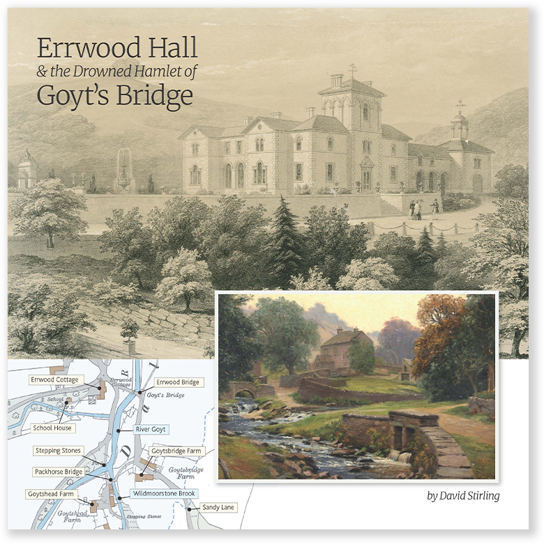
The hall was built around 1845 and demolished some 90 years later when Fernilee Reservoir was built.
The road back to the start crosses the metal bridge, with a path beside it if you’d rather avoid the tarmac. The drowned hamlet of Goyt’s Bridge lies under the water opposite.
Click for a pdf with stage-by-stage details of the route including photos and a map, as well as links to car parks and public transport. A walking app GPX file is also available.
Route photos
Stages 1-6 of the route. Click any to enlarge and scroll through.
Relive video
Click to play and use the expand option to view in full-screen. More Goyt Valley Relives.