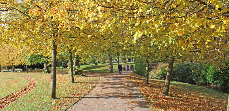
Above: Autumn in Buxton’s Pavilion Gardens.
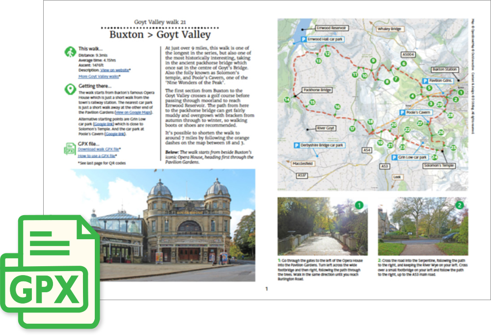
Click for a pdf with stage-by-stage details of the route including photos and a map, as well as links to car parks and public transport. A walking app GPX file is also available.
Length: 9.3mls | Av. time: 4.15hrs | Ascent: 1476ft
Start: Buxton Opera House | Car park map
Walk description, map & GPX | Download
A 9.3-mile circular walk from Buxton’s famous Opera House – one of the longest in the series, but also one of the most historically interesting. It’s a short walk from the station (see Public transport), and the nearest car park is at the other end of the Pavilion Gardens.
You can also start from Grin Low car park, close to Solomon’s Temple, or the car park at Poole’s Cavern. And you can shorten the walk to around 7 miles by following the orange dashes on the pdf map between points 18 and 3.
The route crosses Cavendish Golf Course – there’s a bell to warn golfers – then climbs onto moorland, passing the old Cromford & High Peak Railway and the entrance to its longest tunnel.
One of the clues on the Joe Brown’s Numbers South course (walk 29) is carved into the side of the tunnel entrance – though it’s quite difficult to spot.
The path from here to the packhorse bridge, moved from Goyt’s Bridge in 1965, can get muddy and overgrown with bracken from autumn into winter, so walking boots are recommended.
Solomon’s Temple and Poole’s Cavern
The return follows the old turnpike towards Buxton before climbing to Solomon’s Temple. Built in the 1890s on the site of a Bronze Age barrow, it’s clearly visible from the town, and the view from the top is well worth the short climb.
Beyond are the remains of lime kilns used from the 16th to the early 19th centuries, hidden by Grin Low Wood, planted around 1820 by the Duke of Devonshire.
The walk then drops down to Poole’s Cavern, one of the ‘Nine Wonders of the Peak’ and a tourist attraction since Victorian times, before returning through the Pavilion Gardens.
Click for a pdf with stage-by-stage details of the route including photos and a map, as well as links to car parks and public transport. A walking app GPX file is also available.
Route photos
Stages 1-6 of the route. Click any to enlarge and scroll through.
Relive video
Click to play and use the expand option to view in full-screen. More Goyt Valley Relives.