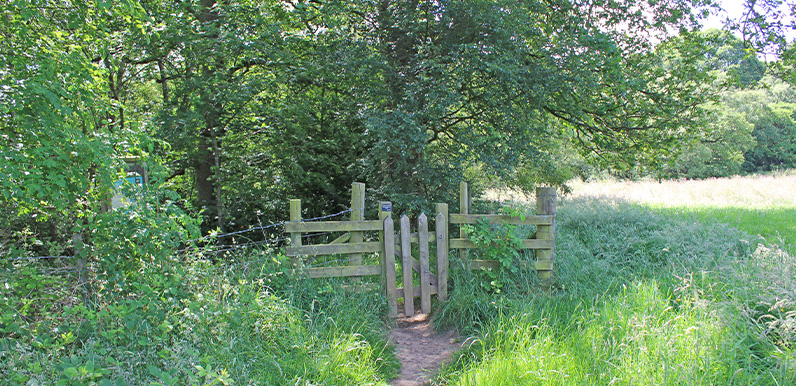
Above: The entrance to Hillbridge Nature Reserve at 8 on the map. This is the best spot to view bluebells in the valley during May.
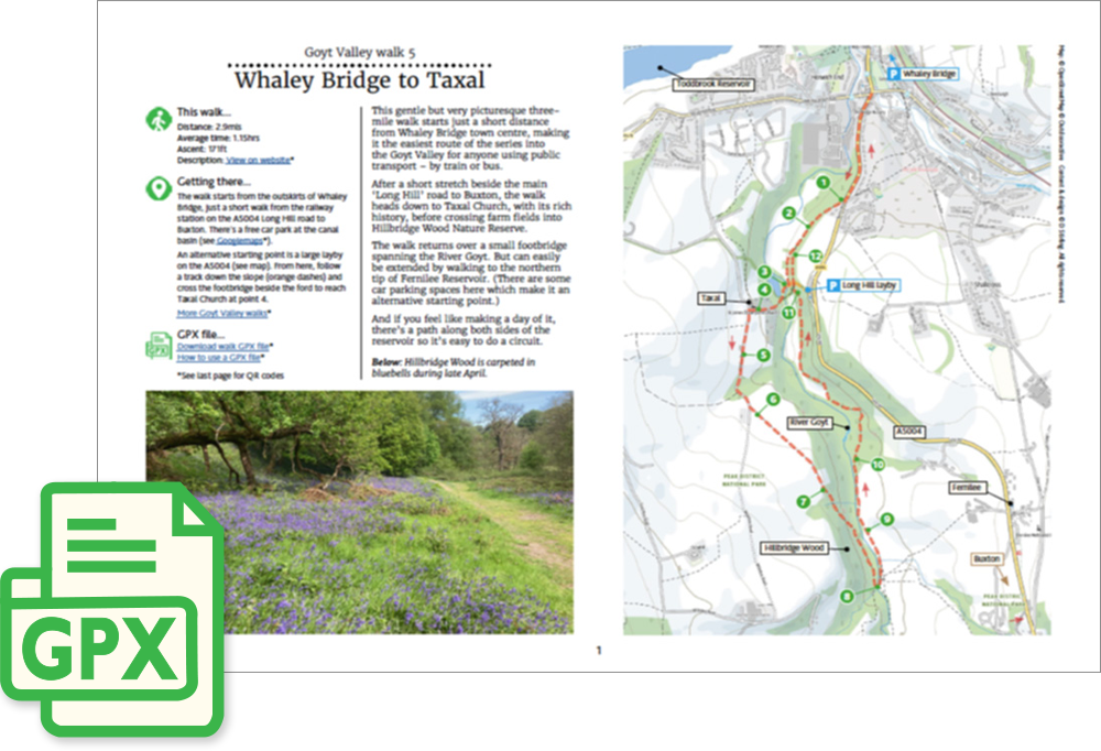
Click for a pdf with stage-by-stage details of the route including photos and a map, as well as links to car parks and public transport. A walking app GPX file is also available.
Length: 2.9mls | Av. time: 1.15hrs | Ascent: 171ft
Start: Whaley Bridge Wharf car park | Google Map
Walk description, map & GPX | Download
A 2.9-mile circular walk from the edge of Whaley Bridge, just a short stroll from the town centre – making it the easiest route of the series into the Goyt Valley if you’re coming by public transport, by train or bus.
The start is marked as the free car park at Canal Wharf, opposite the railway station, but it’s normally fairly easy to park closer to the start, opposite Mevril Road. There’s also a large layby on the A5004 Long Hill road – see the pdf map.
After a short stretch beside the Long Hill road to Buxton, the route heads down to a small footbridge over the Goyt – once an important crossing for packhorse trains, though the original bridge was washed away in the early 1900s.
Taxal and Hillbridge Wood
From the bridge, the path climbs to Taxal Church, with its rich history. It’s well worth a look around the graveyard, though the church itself is now often locked.
Its most colourful rector was Rev. Samuel Evans – the pugilistic parson – who served the church for some 35 years until his death in 1922. A generous benefactor, he was never one to back down from a quarrel, and was once bound over to keep the peace.
Inside are some fascinating memorials – including one to George II’s ‘Yeoman of the Mouth’, the king’s food taster, and another to Samuel Grimshawe – who bought the Errwood estate in 1832 – and his wife Anne.
Farm fields then lead into Hillbridge Wood Nature Reserve, an important remnant of upland oak woodland with rare lichens and mosses – and carpeted in bluebells in late April.
The walk returns over another small footbridge and along a lovely riverside path, where kingfishers can sometimes be glimpsed darting along the water.
It can easily be extended to the northern tip of Fernilee Reservoir, where paths run along both sides of the water – so it’s easy to make a day of it with a circuit.
Click for a pdf with stage-by-stage details of the route including photos and a map, as well as links to car parks and public transport. A walking app GPX file is also available.
Route photos
Stages 1-6 of the route. Click any to enlarge and scroll through.
Relive video
Click to play and use the expand option to view in full-screen. More Goyt Valley Relives.