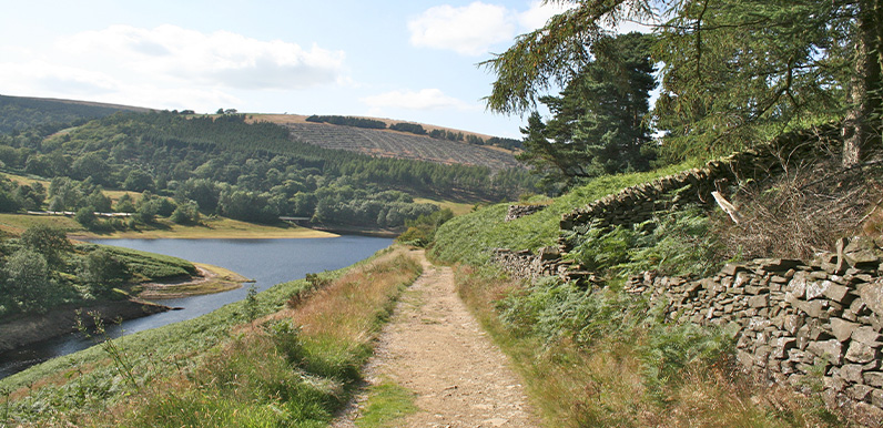
Above: The approach to Errwood Reservoir at point 9 on the route. A nearby bench makes a perfect stop to rest and take in the wonderful view.
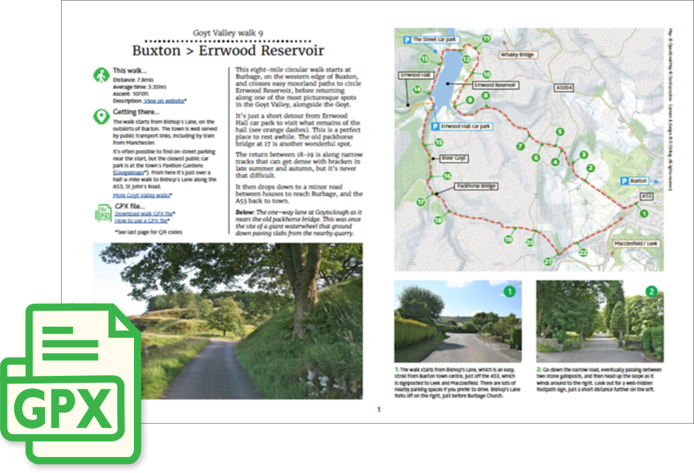
A detailed, step-by-step description and map of this walk are available to download for just £2.50. A walking app GPX file is also available at £1.50. Save on both for just £3.50. All proceeds help cover the hosting costs of this website.
Length: 7.8mls | Av. time: 3.35hrs
Start: Bishop’s Lane, Buxton
Walk description, map & GPX | Download
This eight-mile circular walk starts at Burbage, on the western edge of Buxton, passing along easy moorland paths to Errwood Reservoir, before returning to the starting point on Bishop’s Lane. It’s a fairly easy walk, with no steep slopes. But it can get muddy in places – particularly after rain – so walking boots are recommended.
Getting there
It’s a pleasant 40-minute walk to the start point from Buxton Station, and there’s also a regular bus service which stops close to the start on St John’s Road. The nearest large car park is at the Pavilion Gardens, off Burlington Road
Route photos
Stages 1-6 of the route. Click any to enlarge and scroll through.
Relive video
Click to play and use the expand option to view in full-screen. More Goyt Valley Relives.