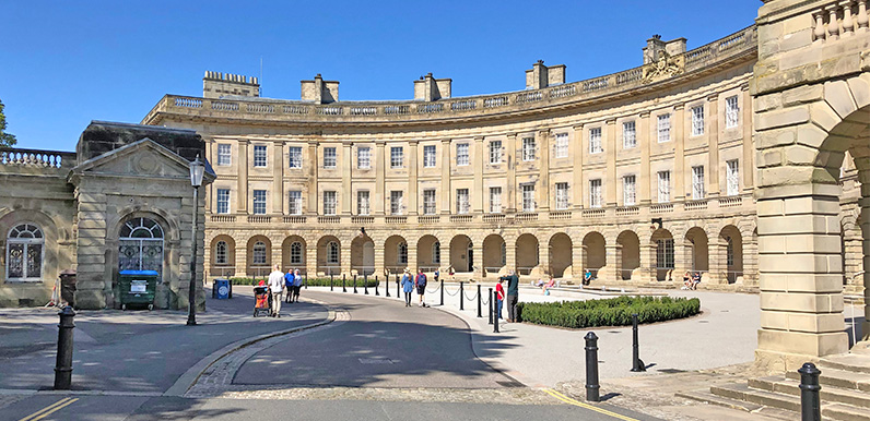
Above: The Crescent is Buxton’s best known building.
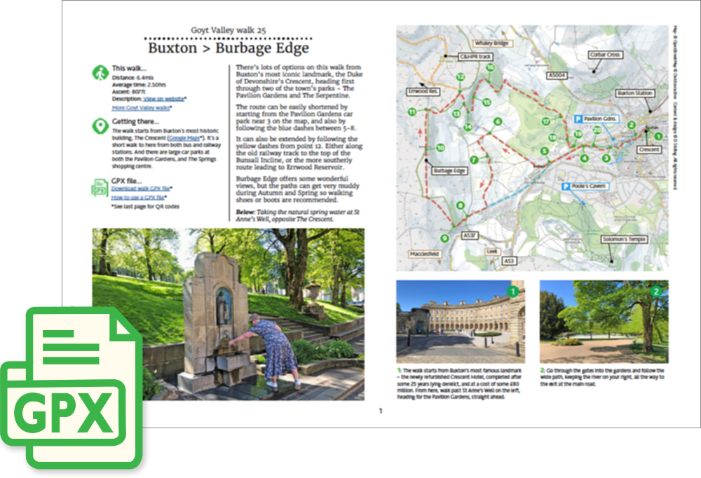
Click for a pdf with stage-by-stage details of the route including photos and a map, as well as links to car parks and public transport. A walking app GPX file is also available.
Length: 6.4mls | Av. time: 2.50hrs | Ascent: 807ft
Start: The Crescent, Buxton | Google Map
Walk description, map & GPX | Download
A 6.4-mile circular walk from The Crescent in the centre of Buxton. The bus and railway stations are a short walk away – see Public transport – and there are large car parks at the Pavilion Gardens and The Springs shopping centre.
The Duke of Devonshire’s Crescent is the town’s most iconic landmark, restored as a spa hotel after lying derelict for some 25 years. Opposite is St Anne’s Well, where you can sample the natural spring water.
The route heads through two of the town’s parks – the Pavilion Gardens and the Serpentine, the oldest part of the gardens, completed in the 1830s – then follows the Leek road to the quiet Bishop’s Lane, a favourite with locals and dog-walkers.
Past Plex Farm and through Shay Woods, it joins the old turnpike road towards Derbyshire Bridge and the Cat & Fiddle, before climbing up onto the moors.
Burbage Edge
Burbage Edge offers some wonderful views across Buxton, with a trig point at its highest spot. One of Joe Brown’s Numbers is close to the trig point, though it’s quite difficult to spot.
The moorland paths can get very muddy in autumn and winter, and after a lot of rain, so walking shoes or boots are recommended.
The return crosses open moorland and then a garden on a recognised footpath (the residents are usually very friendly!), before crossing the golf course – listen out for cries of ‘fore’ – and heading back through the Serpentine to the Pavilion Gardens for a well-deserved rest.
The walk can be shortened by starting from the Pavilion Gardens car park, and by taking the short cut shown in blue on the pdf map between points 5 and 8.
It can also be extended from point 12, either along the old Cromford & High Peak Railway track to the top of the Bunsall Incline, or past the railway’s longest tunnel and down to Errwood Reservoir (see walk 10).
Click for a pdf with stage-by-stage details of the route including photos and a map, as well as links to car parks and public transport. A walking app GPX file is also available.
Route photos
Stages 1-6 of the route. Click any to enlarge and scroll through.
Relive video
Click to play and use the expand option to view in full-screen. More Goyt Valley Relives.