Goyt Valley walk 20: Three Shires Head
Walk distance: 5 miles | Date recorded: February 2019
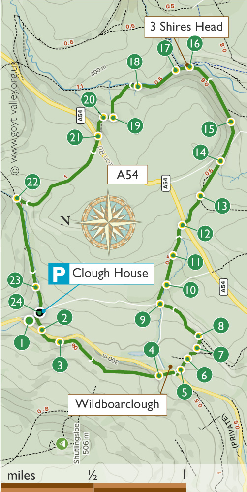
Start point: Clough House car park (SK11 0BD) | Google Map
Map app: View on OutdoorActive | Contact me for GPX file
Above: Click map to expand.
View printable A4 map.
Walk description & directions
Recorded on a gloriously bright and sunny day in late February, this isn’t really a Goyt Valley walk as it lies a few miles south. But I’ve included it as it’s one of my favourites in this part of the Peak District. It is possible to start at Derbyshire Bridge, close to the head of the Goyt. But I prefer to start from the carpark at Clough House Farm (postcode SK11 0BD).
As the name suggests, Three Shires Head lies at the junction of three counties; Derbyshire, Cheshire and Staffordshire. It was once an important crossing point over the River Dane for trains of packhorses. And a place where the horses could be rested and watered.
It also had a reputation for lawlessness, with thieves and brigands able to evade capture by simply stepping over a county boundary. Today it’s a popular spot during summer holidays and weekends for families to enjoy picnics and let their children play safely in the shallow pools.
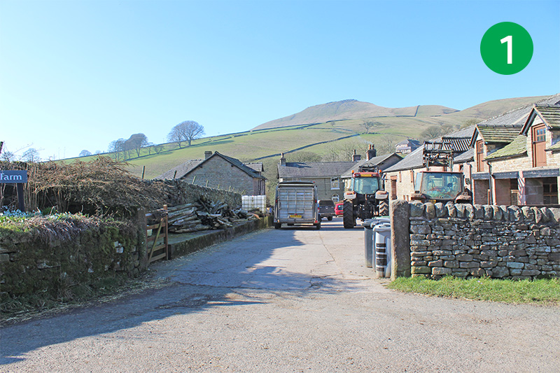
1: From the car park, walk through Clough House farmyard and go through a gate in the left hand corner, following the footpath sign, and head right, down the slope, keeping the stone wall on your right.
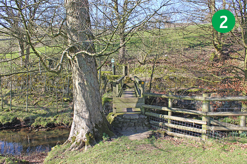
2: Cross the small footbridge in the right hand corner of the field, and take the footpath on the opposite side of the road, heading up the slope to the left.
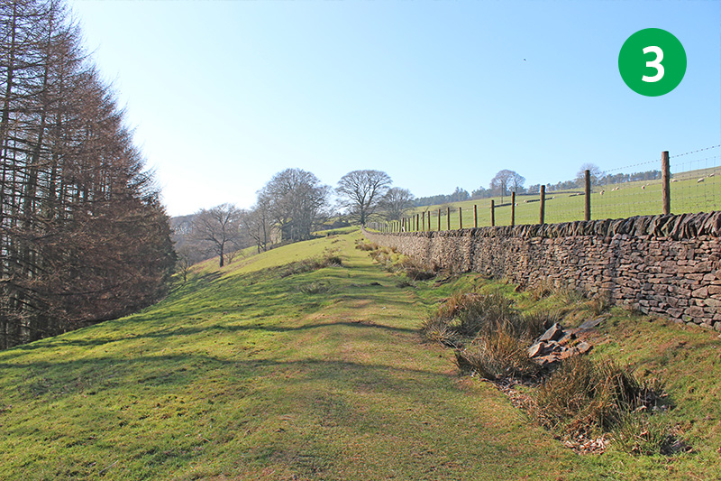
3: Follow this path for some distance, eventually passing between farm buildings. Go over a cattle grid and along the narrow road all the way to the junction.
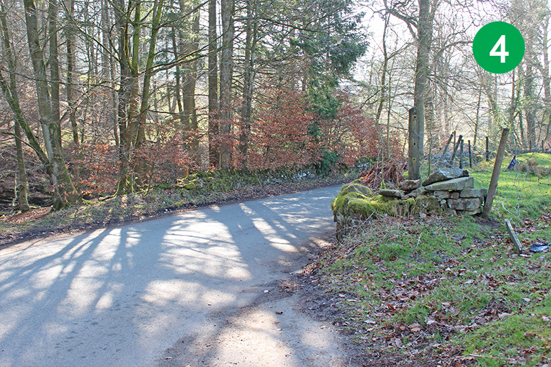
4: Turn right along the road, and then follow a footpath sign just a short distance further on the left, over a small footbridge.
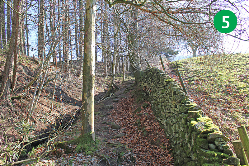
5: Follow the narrow path on the right, beside a stone wall, up the slope, and cross the stile at the top.
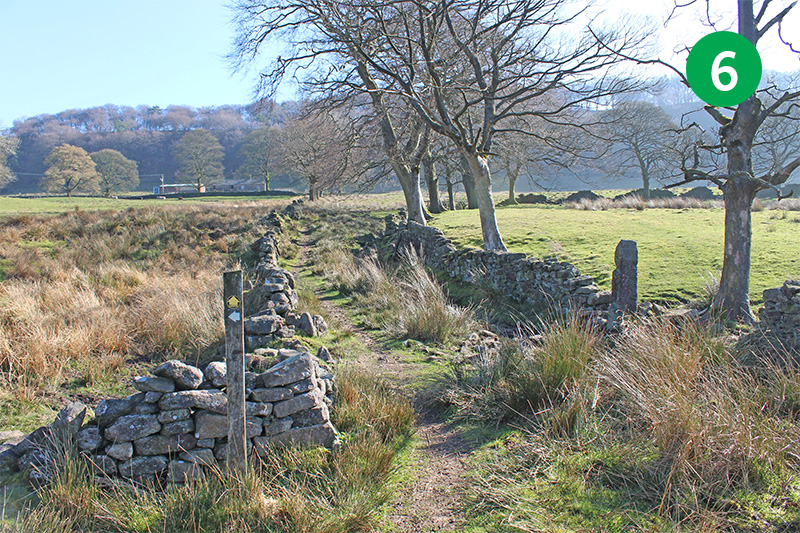
6: Go slightly right across the field until you can follow a footpath sign pointing between two stone walls.
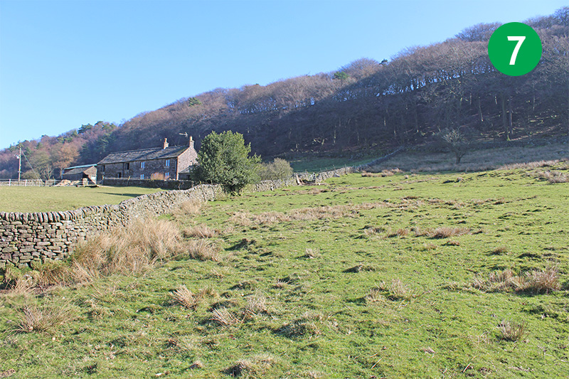
7: Cross the small footbridge, and then head up the slope to the left, towards some farm buildings.
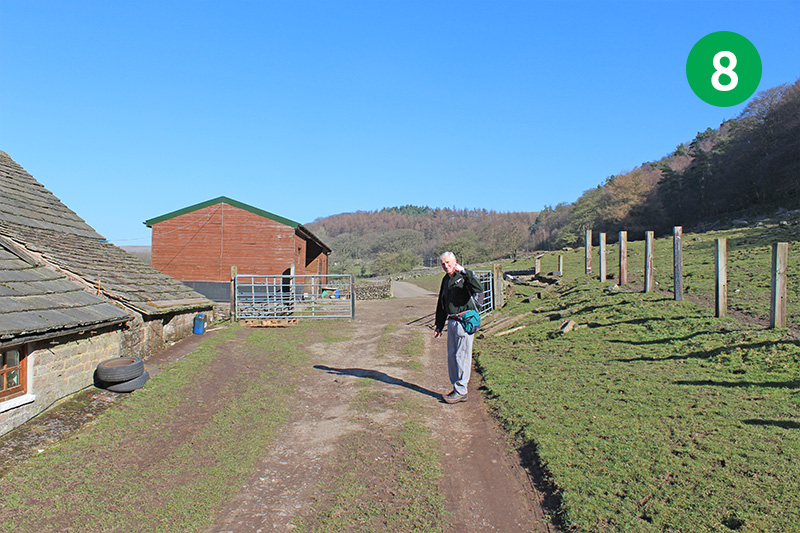
8: Go though the gate leading into a farmyard, and follow this track all the way to the main road.
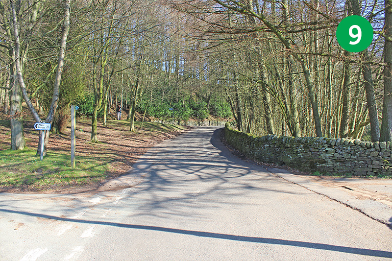
9: Turn right at the road junction, and follow the road up the slope for a short distance.
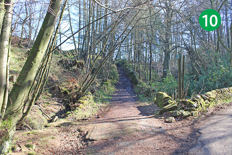
10: Follow the footpath sign on the left, up the narrow track, between two stone walls.
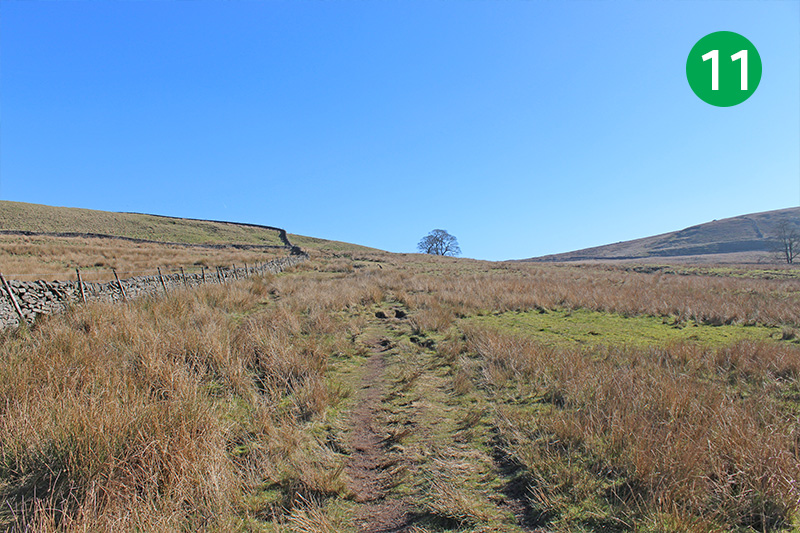
11: Go though the stile at the top, and continue in the same direction up the slope, following a path that can be a bit indistinct at times.
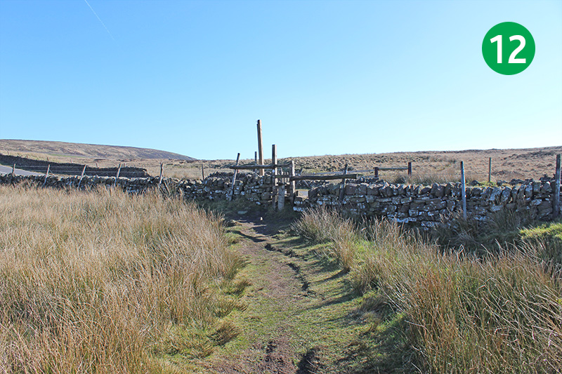
12: Follow this path for some distance across the moorland, until you reach a stile at the main road.
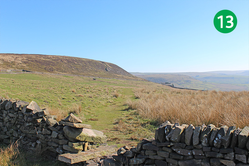
13: Cross the main road, going over another stile, and follow the footpath across the moorland, which heads slightly to the left.
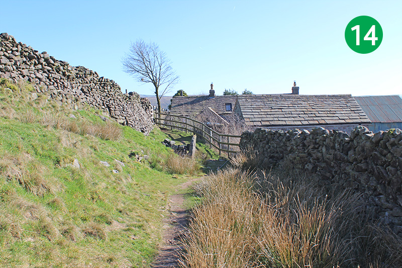
14: Ignore footpaths going up the steeper slope on the left, keeping on the level path which eventually leads to a small farmhouse.
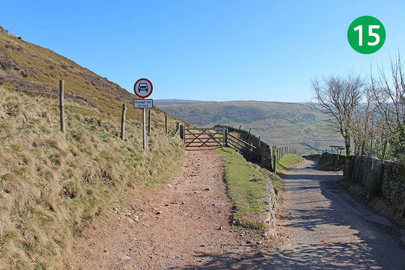
15: Go through a stile at the end of the footpath, turn right down the narrow road, and immediately left through a wooden gate.
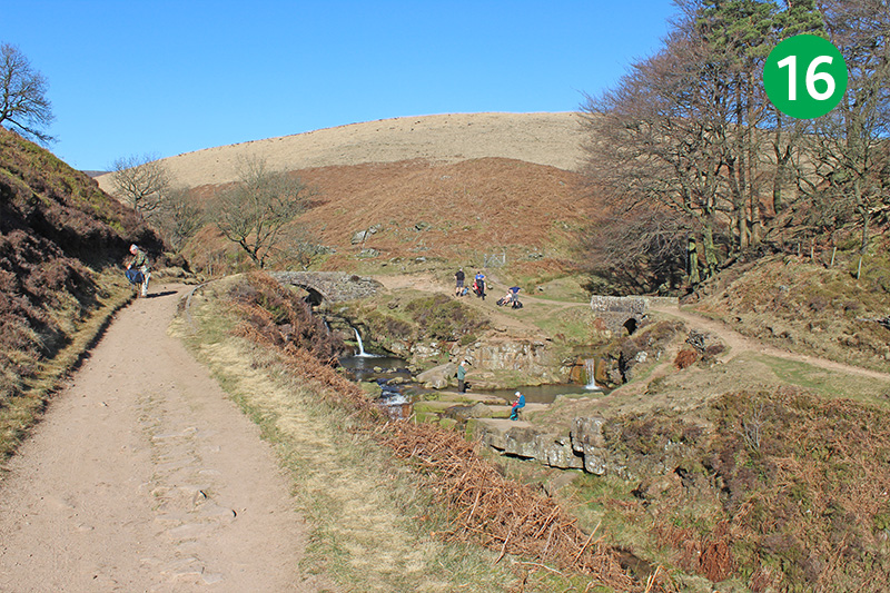
16: Follow this old packhorse route all the way down the slope until you eventually reach Three Shires Head. This is a perfect spot, beside the twin packhorse bridges, to rest a while and enjoy the view.
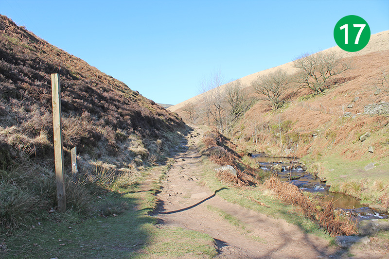
17: Continue in the same direction, with the River Dane on your right, along the footpath which leads up the slope.
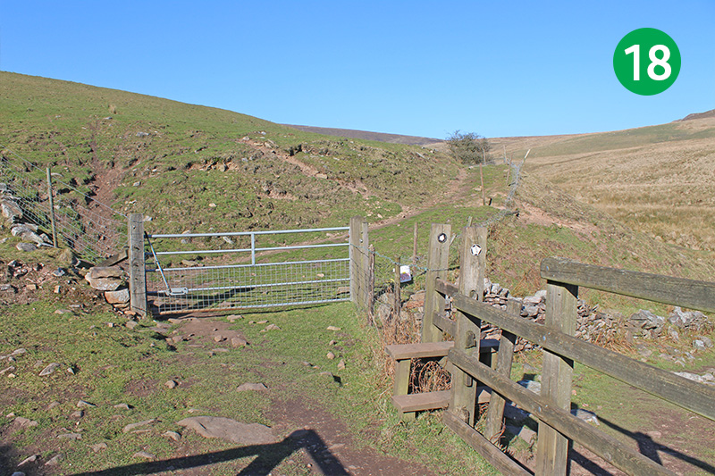
18: Go though the farm gate, ignoring a footpath sign over a stile on the right, and head up the slope, keeping the fence, and then the stone wall, on your right.
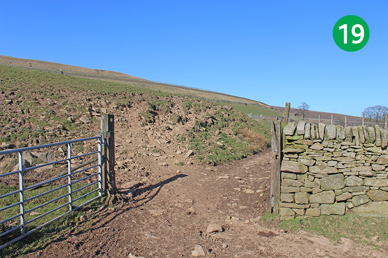
19: At the end of the stone wall, turn right through a farm gate, following the footpath sign straight ahead.
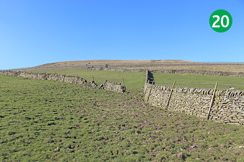
20: Before you reach the next gate, head diagonally left up the field, and go through a gap in the stone wall. You should be able to see two ladder stiles in the distance.
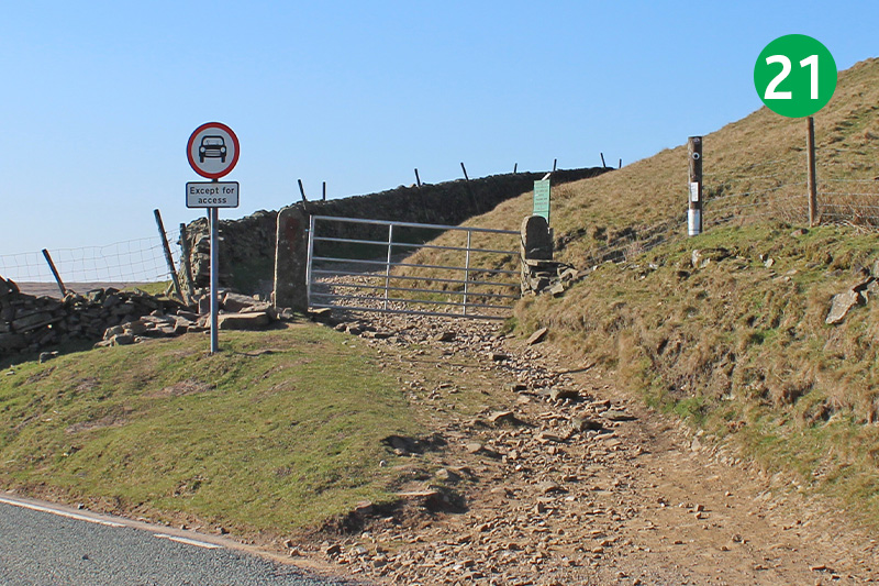
21: Go up the steps on the left, cross the main road, and follow the footpath sign which leads through a gate and up the slope to the left.
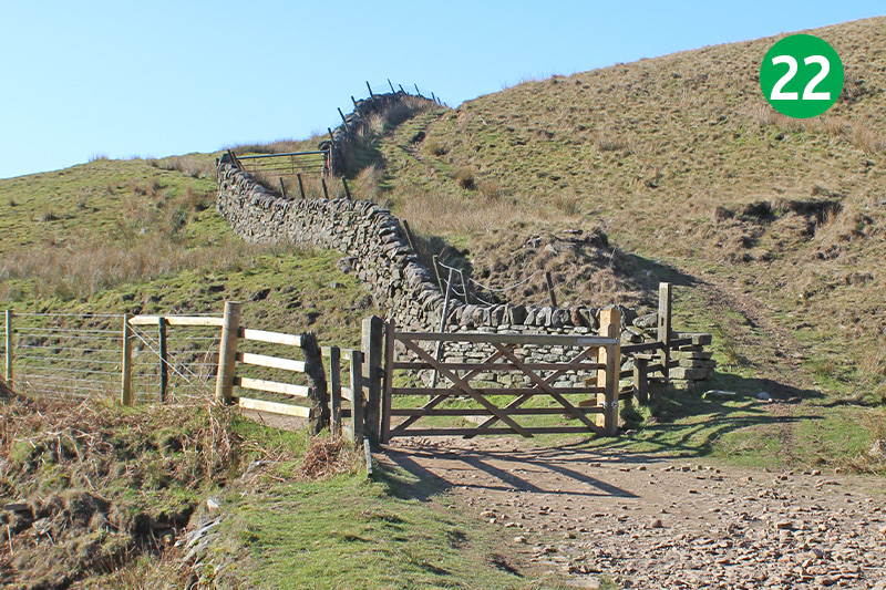
22: Follow this path for some distance until it eventually leads down the valley to a junction of footpaths. Go though the stile on the left, following the obvious track.
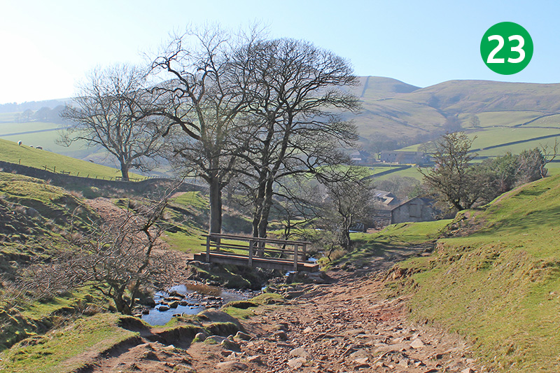
23: Follow this old packhorse track down the slope until you eventually reach a small footbridge.
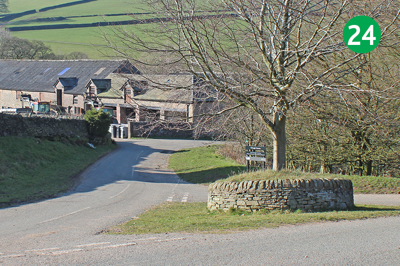
24: Cross the bridge and continue down the slope until you reach the road. Clough House carpark is straight ahead.
View on YouTube
This YouTube video was created with photos taken when the walk was recorded in February 2019. Click the play button and then the expand link to view in full screen.
