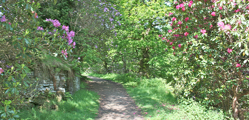
Above: The rhododendrons in full bloom on the approach to the ruins of Errwood Hall, before most were cut back.

Click for a pdf with stage-by-stage details of the route including photos and a map, as well as links to car parks and public transport. A walking app GPX file is also available.
Length: 1.9mls | Av. time: 1hr | Ascent: 522ft
Start: Errwood Hall car park | Google Map
Walk description, map & GPX | Download
A 1.9-mile circular walk from the bridge beside Errwood Hall car park. I recorded it to capture the rhododendrons that once bloomed so magnificently around Errwood Hall in June – but it’s a really enjoyable walk at any time of year.
The seeds are said to have been brought here by the Grimshawe family as ballast in their ocean-going yacht, the Mariquita. Sadly, most of the bushes have since been cut down to stop the spread of a disease affecting the valley’s larch trees.
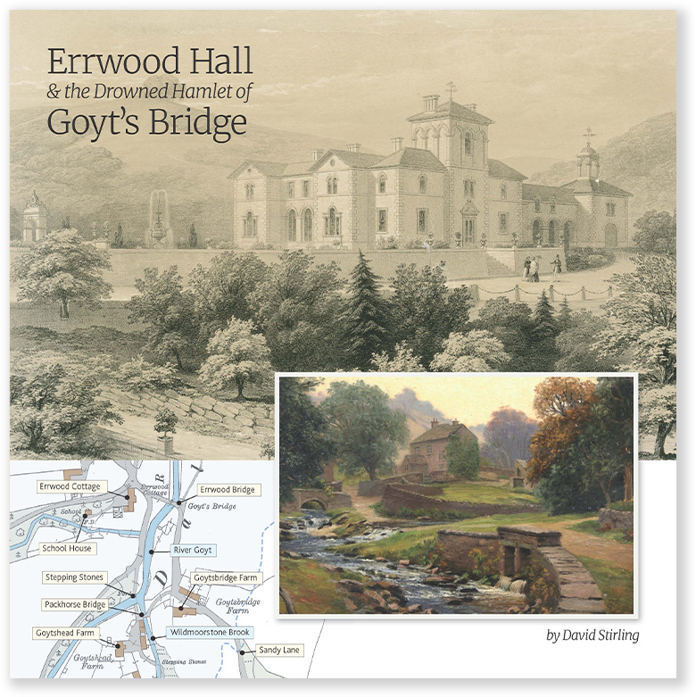
The stream under the bridge is Shooter’s Clough. Before the valley was flooded, a small road ran beside it from the drowned hamlet of Goyt’s Bridge to the hall – and it often re-emerges when the water level is low.
After passing the ruins of Errwood Hall, the route reaches Castedge Farm, with the Grimshawe graves on the hill behind, and the remains of the hall’s walled vegetable gardens, a spring and even a tennis court.
Shooter’s Clough and the ridge
The path continues past Shooter’s Clough Cottage, once home to the manager of Castedge coal mine, then climbs an old track – once the main route to the Buxton to Macclesfield road and the Cat & Fiddle.
Look out for a small pond beside the path. It was a ventilation shaft for the mine, and shows how extensive the workings were.
There are wonderful views all along the walk, especially from the top of the ridge, where Errwood Reservoir comes into view. From here, it’s a short walk back down to the start – or you can extend the route along a clearly marked path to Shining Tor.
Click for a pdf with stage-by-stage details of the route including photos and a map, as well as links to car parks and public transport. A walking app GPX file is also available.
Route photos
Stages 1-6 of the route. Click any to enlarge and scroll through.
Relive video
Click to play and use the expand option to view in full-screen. More Goyt Valley Relives.