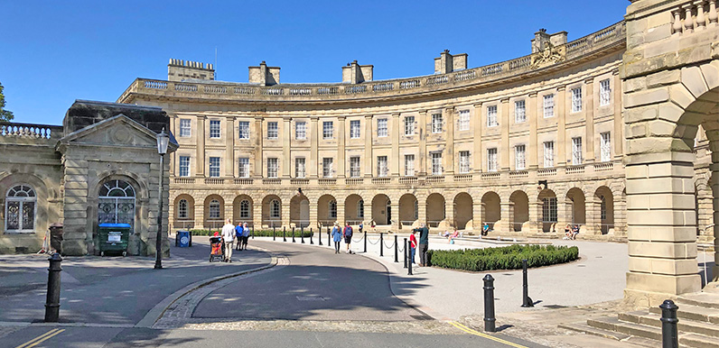
Above: The Crescent is Buxton’s best known building.
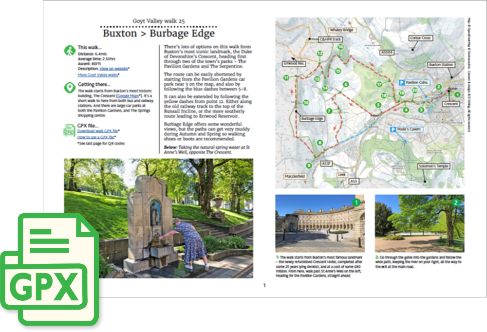
A detailed, step-by-step description and map of this walk are available to download for just £2.50. A walking app GPX file is also available at £1.50. Save on both for just £3.50. All proceeds help cover the hosting costs of this website.
Length: 6.4mls | Av. time: 2.50hrs
Start: The Crescent
Walk description, map & GPX | Download
There are lots of options on this walk from Buxton’s most iconic landmark, the Duke of Devonshire’s Crescent, heading first through two of the town’s parks – The Pavilion Gardens and The Serpentine.
Shorter and longer options
The route can be easily shortened by following the blue dashes on the map between 5-8. It can also be extended by following the yellow dashes from point 12, along the old Cromford & High Peak Railway track.
Burbage Edge
Burbage Edge offers some wonderful views, but the moorland paths can get very muddy during Autumn and Spring so walking shoes or boots are recommended.
Route photos
Stages 1-6 of the route. Click any to enlarge and scroll through.
Relive video
Click to play and use the expand option to view in full-screen. More Goyt Valley Relives.