
Topic tags: Walk descriptions...

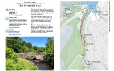
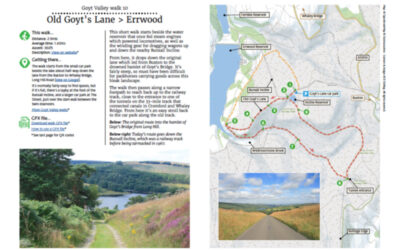
1. The Riverside Path

1. The Riverside Path

Distance: 2.3mls
Average time: 1hr
Ascent: 197ft
Description: Click to view

Download a 4-page A4 pdf of the route including detailed instructions, photos and map. A GPX file is also available to follow the route in any walking app. Simply select from the dropdown below…
read more
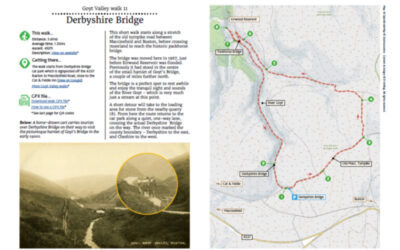
10. Old Goyt’s Lane

10. Old Goyt’s Lane

Distance: 2.9mls
Average time: 1.45hrs
Ascent: 302ft
Description: Click to view

Download a 2-page A4 pdf of the route including detailed instructions, photos and map. A GPX file is also available to follow the route in any walking app. Simply select from the dropdown below…
read more
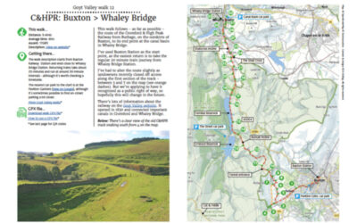
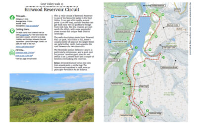
11. Derbyshire Bridge

11. Derbyshire Bridge

Distance: 3.6mls
Average time: 1.35hrs
Ascent: 492ft
Description: Click to view

Download a 2-page A4 pdf of the route including detailed instructions, photos and map. A GPX file is also available to follow the route in any walking app. Simply select from the dropdown below…
read more
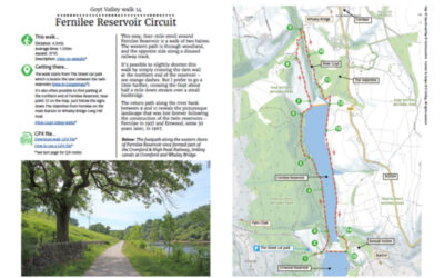
12. C&HPR: Buxton > Whaley Bridge

12. C&HPR: Buxton > Whaley Bridge

Distance: 9.4mls
Average time: 4hrs
Ascent: 1158ft
Description: Click to view

Download a 3-page A4 pdf of the route including detailed instructions, photos and map. A GPX file is also available to follow the route in any walking app. Simply select from the dropdown below…
read more
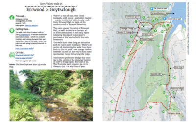
13. Errwood Reservoir Circular

13. Errwood Reservoir Circular

Distance: 5.1mls
Average time: 2.10hrs
Ascent: 243ft
Description: Click to view

Download a 3-page A4 pdf of the route including detailed instructions, photos and map. A GPX file is also available to follow the route in any walking app. Simply select from the dropdown below…
read more
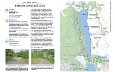
14. Fernilee Reservoir Circular

14. Fernilee Reservoir Circular

Distance: 4.3mls
Average time: 1.55hrs
Ascent: 371ft
Description: Click to view

Download a 3-page A4 pdf of the route including detailed instructions, photos and map. A GPX file is also available to follow the route in any walking app. Simply select from the dropdown below…
read more
15. Errwood > Goytsclough

15. Errwood > Goytsclough

Distance: 4.2mls
Average time: 2.05hrs
Ascent: 794ft
Description: Click to view

Download a 4-page A4 pdf of the route including detailed instructions, photos and map. A GPX file is also available to follow the route in any walking app. Simply select from the dropdown below…
read more
16. Fernilee Woodland Walk

16. Fernilee Woodland Walk

Distance: 2.8mls
Average time: 1.15hrs
Ascent: 292ft
Description: Click to view

Download a 3-page A4 pdf of the route including detailed instructions, photos and map. A GPX file is also available to follow the route in any walking app. Simply select from the dropdown below…
read more
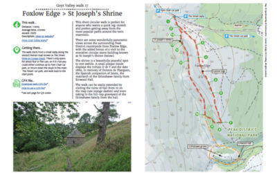
17. Foxlow Edge > St. Joseph’s Shrine

17. Foxlow Edge > St. Joseph’s Shrine

Distance: 1.6mls
Average time: 45mins
Ascent: 292ft
Description: Click to view

Download a 3-page A4 pdf of the route including detailed instructions, photos and map. A GPX file is also available to follow the route in any walking app. Simply select from the dropdown below…
read more
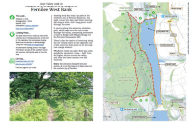
18. Fernilee West Bank

18. Fernilee West Bank

Distance: 3.3mls
Average time: 1.30hrs
Ascent: 331ft
Description: Click to view

Download a 3-page A4 pdf of the route including detailed instructions, photos and map. A GPX file is also available to follow the route in any walking app. Simply select from the dropdown below…
read more
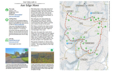
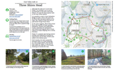
19. Axe Edge Moor

19. Axe Edge Moor

Distance: 7.1mls
Average time: 3.00hrs
Ascent: 823ft
Description: Click to view

Download a 3-page A4 pdf of the route including detailed instructions, photos and map. A GPX file is also available to follow the route in any walking app. Simply select from the dropdown below…
read more
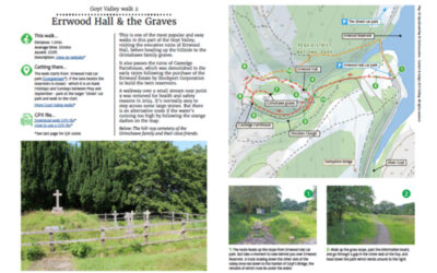
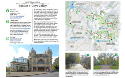
2. Errwood Hall & Graves

2. Errwood Hall & Graves

Distance: 1.2mls
Average time: 35mins
Ascent: 220ft
Description: Click to view

Download a 4-page A4 pdf of the route including detailed instructions, photos and map. A GPX file is also available to follow the route in any walking app. Simply select from the dropdown below…
read more
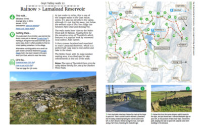
20. Three Shires Head

20. Three Shires Head

Distance: 5.1mls
Average time: 2.20hrs
Ascent: 961ft
Description: Click to view

Download a 3-page A4 pdf of the route including detailed instructions, photos and map. A GPX file is also available to follow the route in any walking app. Simply select from the dropdown below…
read more
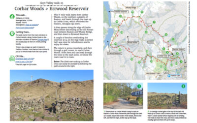
21. Buxton > Goyt Valley

21. Buxton > Goyt Valley

Distance: 9.3mls
Average time: 4.15hrs
Ascent: 1476ft
Description: Click to view

Download a 3-page A4 pdf of the route including detailed instructions, photos and map. A GPX file is also available to follow the route in any walking app. Simply select from the dropdown below…
read more
22. Rainow > Lamaload

22. Rainow > Lamaload

Distance: 9.4mls
Average time: 4.30hrs
Ascent: 1575ft
Description: Click to view

Download a 4-page A4 pdf of the route including detailed instructions, photos and map. A GPX file is also available to follow the route in any walking app. Simply select from the dropdown below…
read more
23. Corbar > Errwood Res.

23. Corbar > Errwood Res.

Distance: 8.4mls
Average time: 3.55hrs
Ascent: 1437ft
Description: Click to view

Download a 4-page A4 pdf of the route including detailed instructions, photos and map. A GPX file is also available to follow the route in any walking app. Simply select from the dropdown below…
read more
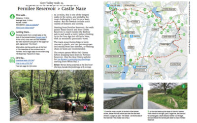
24. Fernilee > Castle Naze

24. Fernilee > Castle Naze

Distance: 11.9mls
Average time: 5.30hrs
Ascent: 1398ft
Description: Click to view

Download a 4-page A4 pdf of the route including detailed instructions, photos and map. A GPX file is also available to follow the route in any walking app. Simply select from the dropdown below…
read more
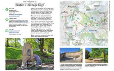
25. Buxton > Burbage Edge

25. Buxton > Burbage Edge

Distance: 6.4mls
Average time: 2.50hrs
Ascent: 807ft
Description: Click to view

Download a 3-page A4 pdf of the route including detailed instructions, photos and map. A GPX file is also available to follow the route in any walking app. Simply select from the dropdown below…
read more
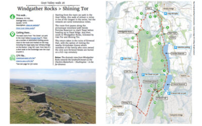
26. Windgather Rocks > Shining Tor

26. Windgather Rocks > Shining Tor

Distance: 10.7mls
Average time: 4.55hrs
Ascent: 1411ft
Description: Click to view

Download a 3-page A4 pdf of the route including detailed instructions, photos and map. A GPX file is also available to follow the route in any walking app. Simply select from the dropdown below…
read more
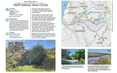
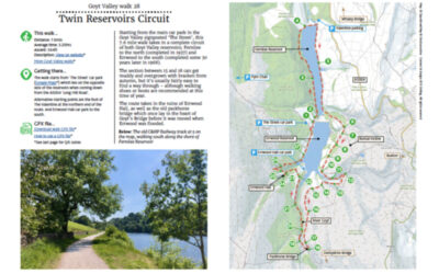
27. C&HP Railway Short Circuit

27. C&HP Railway Short Circuit

Distance: 2.3mls
Average time: 1.00hrs
Ascent: 246ft
Description: Click to view

Download a 2-page A4 pdf of the route including detailed instructions, photos and map. A GPX file is also available to follow the route in any walking app. Simply select from the dropdown below…
read more
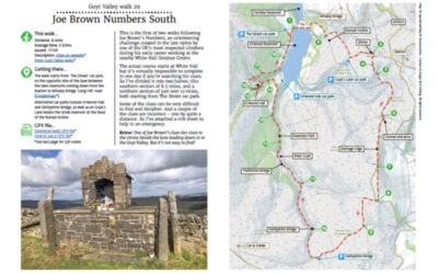
28. Twin Reservoirs Circuit

28. Twin Reservoirs Circuit

Distance: 7.6mls
Average time: 3.20hrs
Ascent: 564ft
Description: Click to view

Download a 4-page A4 pdf of the route including detailed instructions, photos and map. A GPX file is also available to follow the route in any walking app. Simply select from the dropdown below…
read more
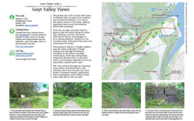
29. Joe Brown Numbers South

29. Joe Brown Numbers South

Distance: 8.4mls
Average time: 3.50hrs
Ascent: 1115ft
Description: Click to view

Download a 4-page A4 pdf of the route including detailed instructions, photos and map. A GPX file is also available to follow the route in any walking app. Simply select from the dropdown below…
read more
3. Valley Views

3. Valley Views

Distance: 1.2mls
Average time: 35mins
Ascent: 230ft
Description: Click to view

Download a 4-page A4 pdf of the route including detailed instructions, photos and map. A GPX file is also available to follow the route in any walking app. Simply select from the dropdown below…
read more
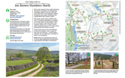
30. Joe Brown Numbers North

30. Joe Brown Numbers North

Distance: 11.5mls
Average time: 5.35hrs
Ascent: 2175ft
Description: Click to view

Download a 4-page A4 pdf of the route including detailed instructions, photos and map. A GPX file is also available to follow the route in any walking app. Simply select from the dropdown below…
read more
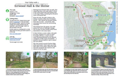
4. Errwood Hall & the Shrine

4. Errwood Hall & the Shrine

Distance: 2.7mls
Average time: 1.25hrs
Ascent: 696ft
Description: Click to view

Download a 2-page A4 pdf of the route including detailed instructions, photos and map. A GPX file is also available to follow the route in any walking app. Simply select from the dropdown below…
read more
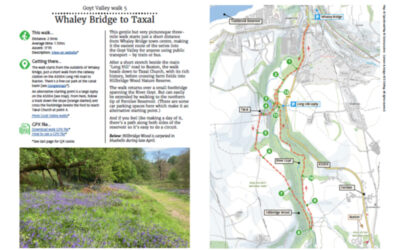
5. Whaley Bridge to Taxal

5. Whaley Bridge to Taxal

Distance: 2.9mls
Average time: 1.15hrs
Ascent: 171ft
Description: Click to view

Download a 3-page A4 pdf of the route including detailed instructions, photos and map. A GPX file is also available to follow the route in any walking app. Simply select from the dropdown below…
read more
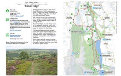
6. Taxal Edge

6. Taxal Edge

Distance: 7.3mls
Average time: 3.25hrs
Ascent: 1230ft
Description: Click to view

Download a 3-page A4 pdf of the route including detailed instructions, photos and map. A GPX file is also available to follow the route in any walking app. Simply select from the dropdown below…
read more
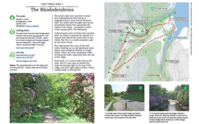
7. The Rhododendrons

7. The Rhododendrons

Distance: 1.9mls
Average time: 1.00hrs
Ascent: 522ft
Description: Click to view

Download a 3-page A4 pdf of the route including detailed instructions, photos and map. A GPX file is also available to follow the route in any walking app. Simply select from the dropdown below…
read more
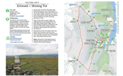
8. Errwood > Shining Tor

8. Errwood > Shining Tor

Distance: 6.3mls
Average time: 3.00hrs
Ascent: 1247ft
Description: Click to view

Download a 3-page A4 pdf of the route including detailed instructions, photos and map. A GPX file is also available to follow the route in any walking app. Simply select from the dropdown below…

read more
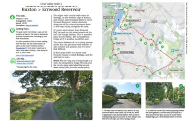
9. Buxton > Errwood Reservoir

9. Buxton > Errwood Reservoir

Distance: 7.8mls
Average time: 3.35hrs
Ascent: 1070ft
Description: Click to view

Download a 3-page A4 pdf of the route including detailed instructions, photos and map. A GPX file is also available to follow the route in any walking app. Simply select from the dropdown below…

read more