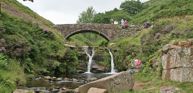
Above: The River Dane flows under one of the packhorse bridges at Three Shires Head.
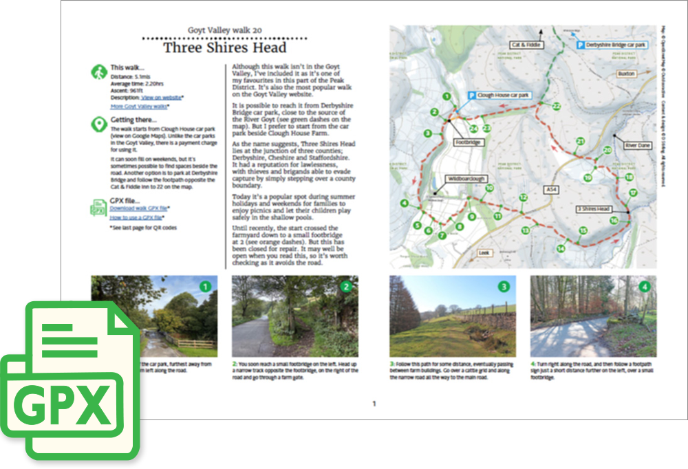
Click for a pdf with stage-by-stage details of the route including photos and a map, as well as links to car parks and public transport. A walking app GPX file is also available.
Length: 5.1mls | Av. time: 2.20hrs | Ascent: 961ft
Start: Clough House car park | Google Map
Walk description, map & GPX | Download
A 5.1-mile circular walk from Clough House car park near Wildboarclough. It isn’t in the Goyt Valley, but it’s one of my favourite walks in this part of the Peak District – and the most popular walk on the website.
Unlike the Goyt Valley car parks, Clough House charges for parking, and it can soon fill at weekends – though there are sometimes spaces beside the road.
You can also start from Derbyshire Bridge, close to the source of the Goyt, following the footpath opposite the Cat & Fiddle to point 22 – see the green dashes on the pdf map.
Until recently, the start crossed the farmyard to a small footbridge at point 2 (see the orange dashes), but it has been closed for repair. It’s worth checking whether it has reopened, as it avoids the road.
Three Shires Head
The route crosses fields and open moorland before following an old packhorse route down to Three Shires Head, where Derbyshire, Cheshire and Staffordshire meet beside twin packhorse bridges over the River Dane.
The main packhorse bridge, now Grade II listed, was built around 1790 for traders carrying goods such as silk from Hollinsclough to the market in Macclesfield.
Standing where three county jurisdictions met, it was a favourite spot for criminals – including coin forgers said to have operated around nearby Flash – who could simply step into another shire if a constable approached. Bare-knuckle fights and cockfights were held here for the same reason.
Today it’s a popular spot for picnics and wild swimming, with waterfalls and shallow pools where children can play safely.
Click for a pdf with stage-by-stage details of the route including photos and a map, as well as links to car parks and public transport. A walking app GPX file is also available.
Route photos
Stages 1-6 of the route. Click any to enlarge and scroll through.
Relive video
Click to play and use the expand option to view in full-screen. More Goyt Valley Relives.