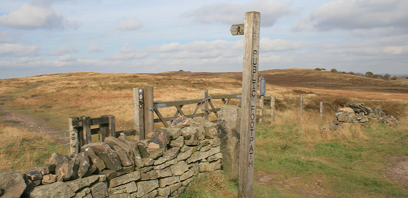
Above: A footpath sign along the old Buxton to Macclesfield turnpike points the way across open moorland.
Length: 3.6mls | Av. time: 1.35hrs
Start: Derbyshire Bridge car park
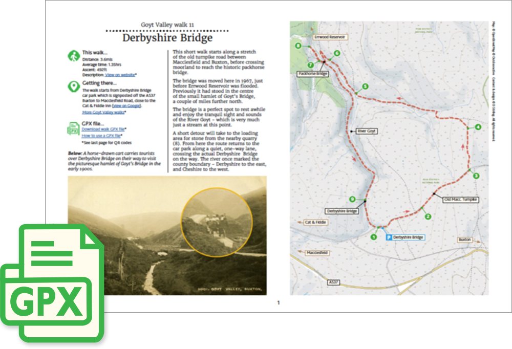
This short walk starts along a stretch of the old turnpike road between Macclesfield and Buxton, before crossing moorland to reach the historic packhorse bridge.
The bridge is a perfect spot to rest awhile and enjoy the tranquil sight and sounds of the River Goyt – which is very much just a stream at this point.
A short detour will take to Goytsclough (8 on the map). And from here you could drop down to the picturesque Riverside Path.
From Goytsclough, the route returns to the car park along a quiet, one-way lane, crossing the actual Derbyshire Bridge on the way.
A detailed, step-by-step description and map of this walk are available to download for just £2.50. A walking app GPX file is also available at £1.50. Save on both for just £3.50. All proceeds help cover the hosting costs of this website.