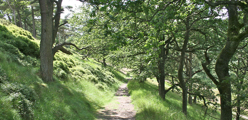
Above: The tree-lined path descending the slope between points 13 and 14 on the route.
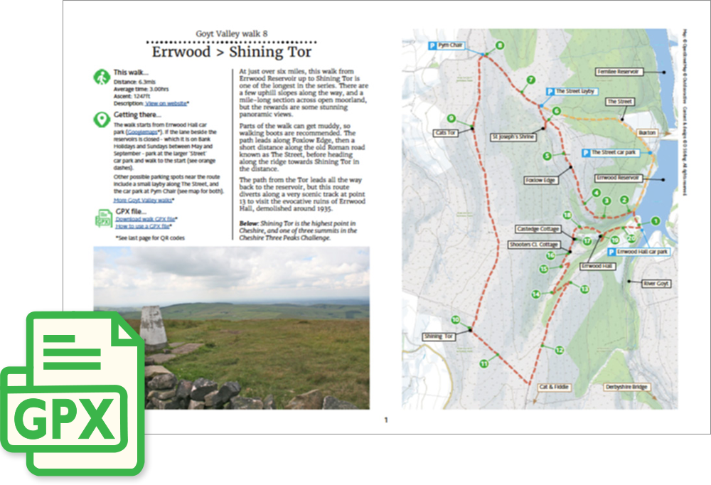
Click for a pdf with stage-by-stage details of the route including photos and a map, as well as links to car parks and public transport. A walking app GPX file is also available.
Length: 6.3mls | Av. time: 3hrs | Ascent: 1247ft
Start: Errwood Hall car park | Google Map
Walk description, map & GPX | Download
A 6.3-mile circular walk from Errwood Hall car park up to Shining Tor – one of the longest in the series. There are a few uphill slopes and a mile-long section across open moorland, but the rewards are some stunning panoramic views.
Parts of the walk can get muddy, so walking boots are recommended. Other places to park near the route include a small layby on The Street and the car park at Pym Chair – see the pdf map.
The path climbs Foxlow Edge, with Cheshire across to the right and the high peaks of Derbyshire to the left. St Joseph’s Shrine is a short detour from the foot of the slope.
Along the ridge to Shining Tor
A short stretch follows The Street, an ancient Roman road along which generations of traders carried their wares across these windswept moors, before the route turns along the ridge at Pym Chair.
The first high point is Cats Tor, popular with paragliders. A stone path, laid to protect the moorland from erosion, then leads on for a mile to Shining Tor – the highest point in Cheshire and one of the Cheshire Three Peaks.
Below the ridge on your right lie the ruins of Thursbitch Farmhouse, in the valley that gave its name to Alan Garner’s novel Thursbitch – though they’re not easy to spot.
On the way back, the route turns off along a scenic path through the trees, passing the ventilation-shaft pond of Castedge coal mine. Flood water down Shooter’s Clough in 1930 caused so much damage that the mine eventually closed.
It then passes the ruins of Shooter’s Clough Cottage and Castedge Farm – with the Grimshawe graves a short detour up the slope – before reaching the evocative ruins of Errwood Hall, demolished around 1935.
Click for a pdf with stage-by-stage details of the route including photos and a map, as well as links to car parks and public transport. A walking app GPX file is also available.
Route photos
Stages 1-6 of the route. Click any to enlarge and scroll through.
Relive video
Click to play and use the expand option to view in full-screen. More Goyt Valley Relives.