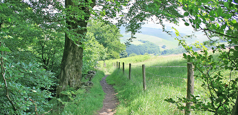
Above: The attractive path down to the southern tip of Fernilee Reservoir between points 9 & 10 on the map.
Length: 3.3mls | Av. time: 1.30hrs
Start: The Valentine parking
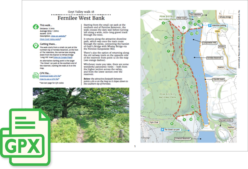
Starting from the small carpark at the northern end of Fernilee Reservoir, the walk crosses the dam wall before turning left along a wide, mile-long gravel track through the trees.
It returns along the attractive shoreline path, which was once the main route through the valley, connecting the hamlet of Goyt’s Bridge with Whaley Bridge via the Fernilee Gunpowder Mill.
The walk can be extended by continuing along the shore of Errwood Reservoir to visit the ruins of Errwood Hall.
A detailed, step-by-step description and map of this walk are available to download for just £2.50. A walking app GPX file is also available at £1.50. Save on both for just £3.50. All proceeds help cover the hosting costs of this website.