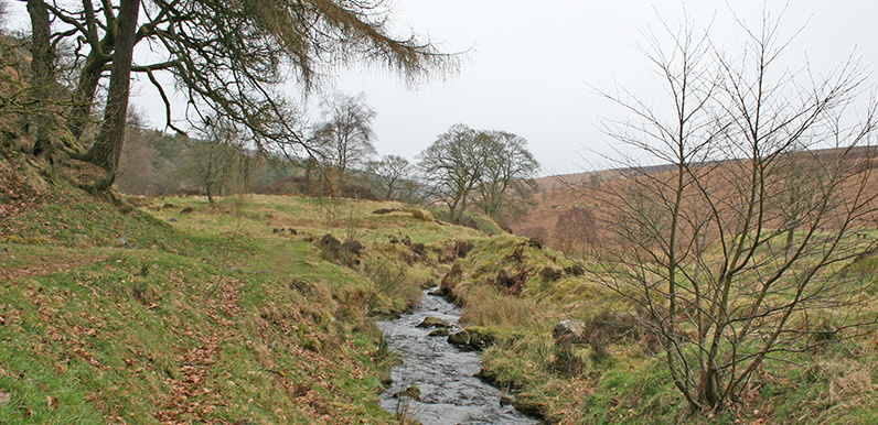
Above: This stream at 21 on the map once powered a giant water wheel – said to be the second largest in the country.
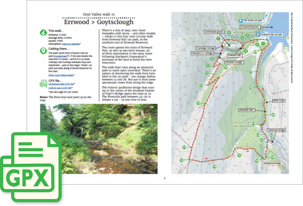
Click for a pdf with stage-by-stage details of the route including photos and a map, as well as links to car parks and public transport. A walking app GPX file is also available.
Length: 4.2mls | Av. time: 2.05hrs | Ascent: 794ft
Start: Errwood Hall car park | Google Map
Walk description, map & GPX | Download
A 4.2-mile circular walk from Errwood Hall car park, with a mix of easy tree-lined footpaths and stony – often muddy – tracks.
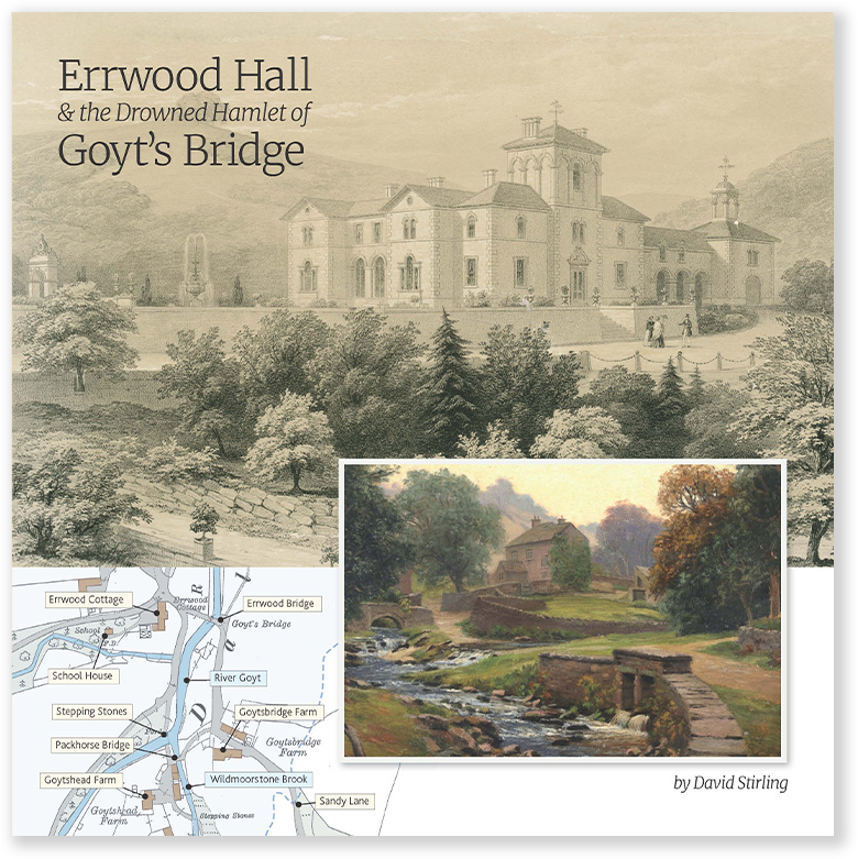
The route passes the ruins of Errwood Hall and its stable block, then Castedge Farm and Shooter’s Clough Cottage, below the Grimshawe graves – all demolished in the early 1930s after Stockport Corporation bought the land for the twin reservoirs.
An attractive path then climbs past a pond that was once a ventilation shaft for Castedge coal mine. You could shorten the walk at the top, but you’d miss some spectacular views along the ridge, with the Cat & Fiddle in the distance.
Goytsclough and the Riverside Path
The path drops down through the trees, past the remains of a sluice gate that controlled the water for the Goytsclough Paint Mill. Nothing remains of the mill, which stood in the shelter of a small cliff face, with a row of workers’ cottages beside it.
Just up the road is the packhorse bridge, moved here from Goyt’s Bridge in 1965, and the old loading area for Goytsclough Quarry.
The return follows the Riverside Path, with great picnic spots beside the water – a perfect place for families with young children, and for anyone with mobility problems.
Click for a pdf with stage-by-stage details of the route including photos and a map, as well as links to car parks and public transport. A walking app GPX file is also available.
Route photos
Stages 1-6 of the route. Click any to enlarge and scroll through.
Relive video
Click to play and use the expand option to view in full-screen. More Goyt Valley Relives.