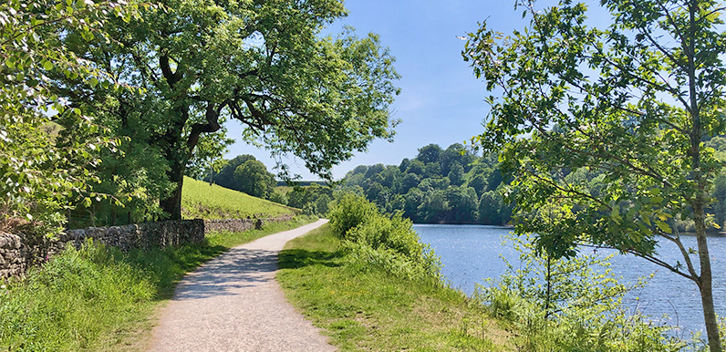
Above: The old C&HP Railway track alongside Fernilee Reservoir at 3 on the map.
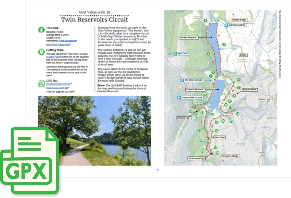
Length: 7.6mls | Av. time: 3.20hrs
Start: The Street car park
Starting from the main car park in the Goyt Valley signposted ‘The Street’, this 7.6 mile walk takes in a complete circuit of both Goyt Valley reservoirs; Fernilee to the north (completed in 1937) and Errwood to the south (completed some 30 years later in 1968).
The section between 15 and 18 can get muddy and overgrown with bracken from autumn, but it’s usually fairly easy to find a way through – although walking shoes or boots are recommended at this time of year.
The route takes in the ruins of Errwood Hall, as well as the old packhorse bridge which once lay in the heart of Goyt’s Bridge before it was moved when Errwood was flooded.
A detailed, step-by-step description and map of this walk are available to download for just £2.50. A walking app GPX file is also available at £1.50. Save on both for just £3.50. All proceeds help cover the hosting costs of this website.