The ghostly figure of Bob looks out across Errwood Reservoir as the water level continues to drop dramatically. Will he be first to see Errwood Bridge appear above the surface. Time will tell…
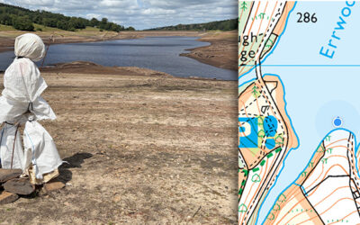

The ghostly figure of Bob looks out across Errwood Reservoir as the water level continues to drop dramatically. Will he be first to see Errwood Bridge appear above the surface. Time will tell…
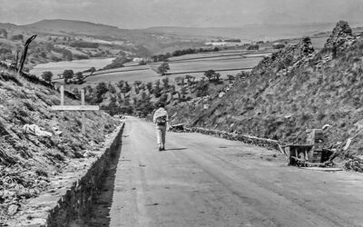
Some photos taken in 1967, shortly before the completion of Errwood Reservoir, including views along the Bunsall Incline as well as the suspension bridge which once spanned Fernilee Reservoir.
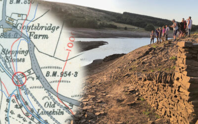
A photo taken back in late August 2022, when the water level in Errwood Reservoir dropped significantly, revealed the path running down to the second set of stepping stones.
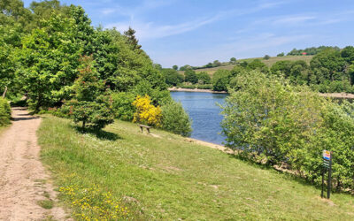
Walk 28 circuits both Fernilee and Errwood Reservoirs. It’s a perfect way to enjoy the many glories of the Goyt Valley, including the historic packhorse bridge and the enigmatic ruins of Errwood Hall.
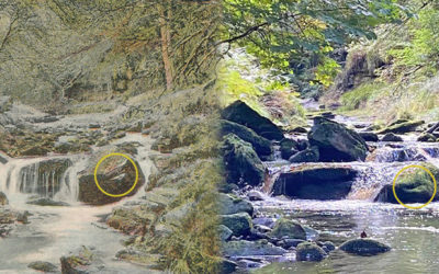
A popular postcard from well over 100 years ago posed a bit of a mystery as it’s not a view anyone recognised. But Sue and Tim were up to the task and donned their wellies to try and track it down.
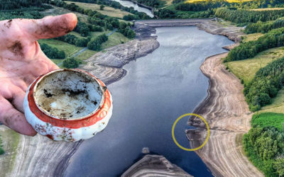
A spot near the reduced waterline may once have been a midden where rubbish from Goytsbridge Farm was dumped. Most of it is of little interest, but a few attractive items have been found.
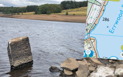
Yet more stone features are appearing above the surface of Errwood Reservoir. The four nearest the bank could have been part of the large twin barns which stood beside the lane to Errwood Hall.
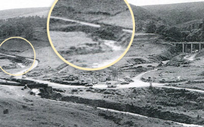
A grainy photo taken shortly before Errwood Reservoir was flooded in 1968 seems to solve the mystery of the sturdy gateposts that have recently surfaced during the drought of August 2022.
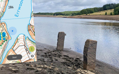
The second part of my attempts to trace features that have emerged during the recent drought; a pair of sturdy gateposts and a junction of lanes, all of which have been hidden since Errwood was flooded.
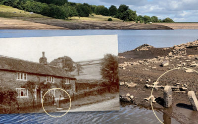
The water level in Errwood Reservoir has dropped significantly over recent weeks, revealing some interesting features from the past. Trying to identify where they once lay is a fascinating challenge.
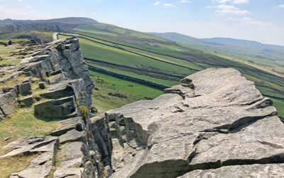
Starting from the main car park, this 11-mile walk includes wonderful views from both Windgather Rocks and Shining Tor, before dropping down to visit the ruins of Errwood Hall.
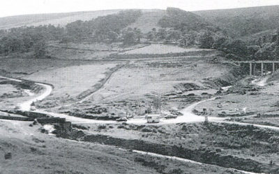
A rare photo of Goyt’s Bridge in 1967, just a few months before this upper part of the valley was flooded. And some views of the same area during the most recent severe drought, in the early 1990s.
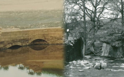
Gary’s photos of Errwood Bridge emerging during the 1984 drought show it had two arches. But all the pre-flood photos I’ve seen only seem to show the one. Bill Brocklehurst solves the mystery.
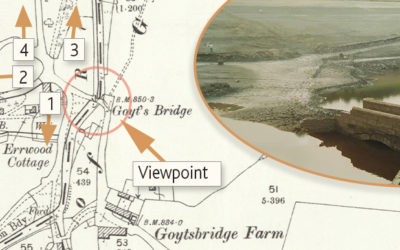
Gary’s photos of Errwood Bridge emerging from the waters of Errwood Reservoir during the drought of 1984 sparked a lot of interest. I’ve included some maps, and a ‘then & now’ fade, to show its position.
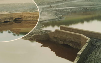
A unique collection of photos show Errwood Bridge emerging from beneath the water during a long dry spell in the autumn of 1984. It was one of two bridges in Goyt’s Bridge. But this wasn’t saved.
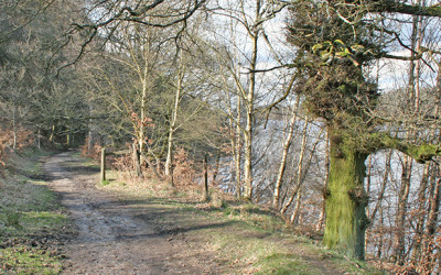
I’ve just added two new walks to the series – bringing the total to 15. They were recorded on the last day of a fairly damp March. One around Fernilee and the other from Errwood to Goytsclough.
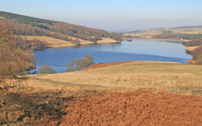
It’s only taken me four years – but I’ve finally managed to publish walk 13 in the series! It’s a five-mile stroll around Errwood Reservoir with some wonderfully panoramic views along the way.
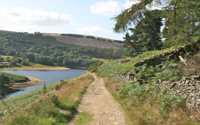
This 7.8-mile walk starts from Burbage, just over a mile from the centre of Buxton, and crosses moorland paths to circle Errwood Reservoir, returning past the old packhorse bridge.
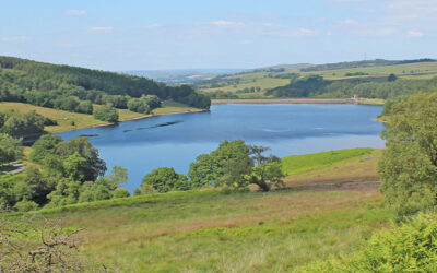
A complete, 5-mile circuit around Errwood Reservoir starting from Errwood Hall car park, passing along the picturesque Riverside Path and returning over the ancient packhorse bridge.
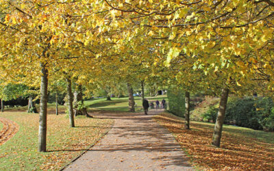
At over nine miles, this walk from Buxton to Errwood Reservoir is one of the longest in the series, but is full of historic interest, passing both Poole’s Cavern and Solomon’s Temple.
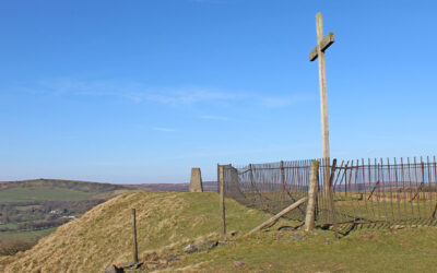
Starting from Buxton’s Corbar Woods, this 8.1-mile walk climbs to the well known landmark of Corbar Cross before dropping down to Errwood Reservoir and returning along moorland paths.
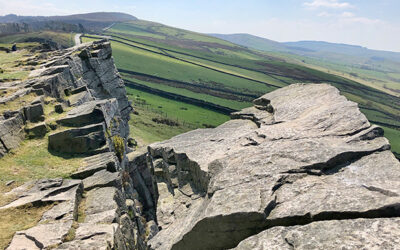
From The Street car park, this 10.7-mile walk passes Fernilee Reservoir to reach Taxal before turning south to Windgather Rocks and then Shining Tor, returning along Errwood Reservoir.
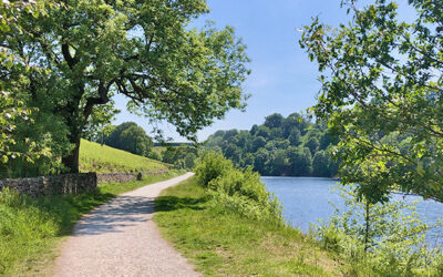
This complete, 7.6-mile circuit of both Errwood and Fernilee Reservoirs starts from The Street car park and passes the ruins of Errwood Hall as well as the historic packhorse bridge.
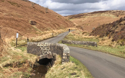
From The Street car park, this 8.4-mile southern section of Joe Brown Numbers orienteering challenge covers a wide expanse of moorland tracks, passing the ruins of Errwood Hall on the way.