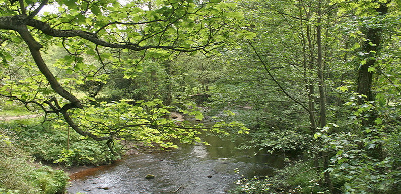
Above: Looking south along the River Goyt from Taxal Bridge.
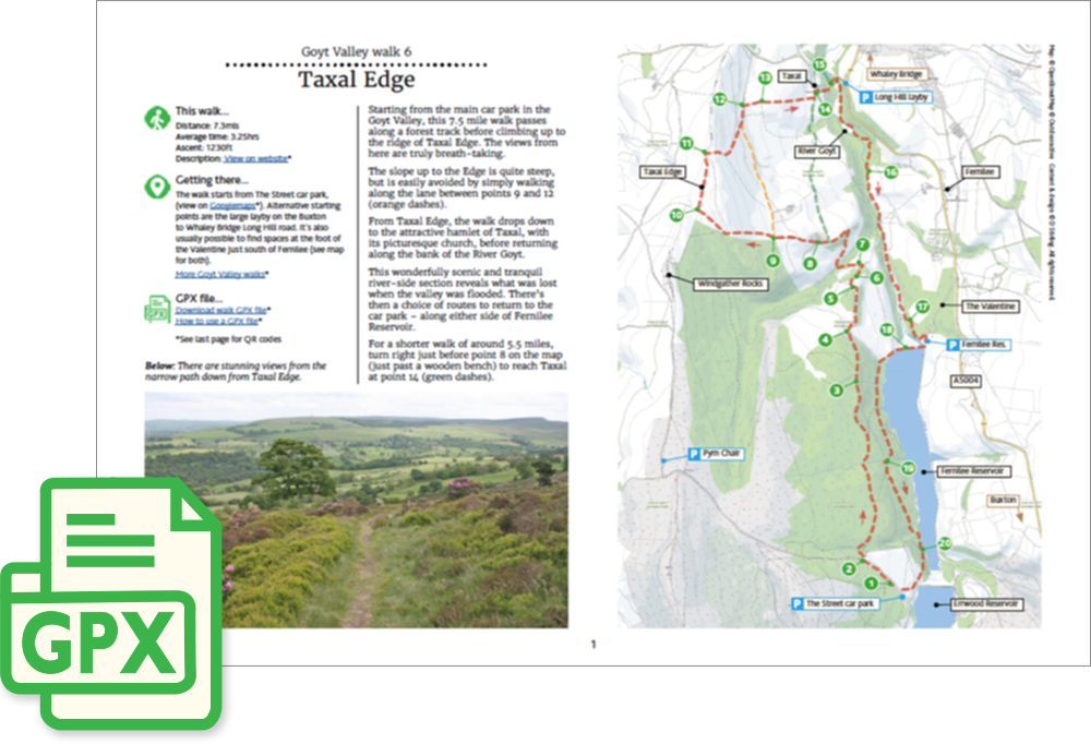
Click for a pdf with stage-by-stage details of the route including photos and a map, as well as links to car parks and public transport. A walking app GPX file is also available.
Length: 7.3mls | Av. time: 3.25hrs | Ascent: 1230ft
Start: The Street car park | Google Map
Walk description, map & GPX | Download
A 7.3-mile circular walk from The Street car park, just over the dam between the two reservoirs. The route heads north along forest and farm tracks, with glimpses of Fernilee Reservoir through the trees, before climbing to the ridge of Taxal Edge.
There are some wonderful views from the ridge, stretching across the valley and ahead to Whaley Bridge.
The climb up to the Edge is fairly steep, but is easy to avoid by following the quiet lane below instead. There’s also a shorter, 5.5-mile option that cuts across to Taxal without the climb. All three routes are shown on the pdf map.
Taxal church
From the Edge, a narrow path drops down to the attractive hamlet of Taxal with its picturesque church, home to a memorial to the Grimshawes of Errwood Hall. Below the church, the River Goyt runs through a ford beside a footbridge – a lovely spot that may once have had a far older bridge.
The return follows the river upstream through fields and woodland – a scenic and tranquil stretch that shows what was lost when the valley to the south was flooded following construction of the twin reservoirs.
Back at Fernilee there’s a choice of routes to the car park: along the old Cromford & High Peak Railway trackbed, or over the dam and around the wooded western shore.
Route photos
Stages 1-6 of the route. Click any to enlarge and scroll through.
Relive video
Click to play and use the expand option to view in full-screen. More Goyt Valley Relives.