2: Errwood Hall & the Graves
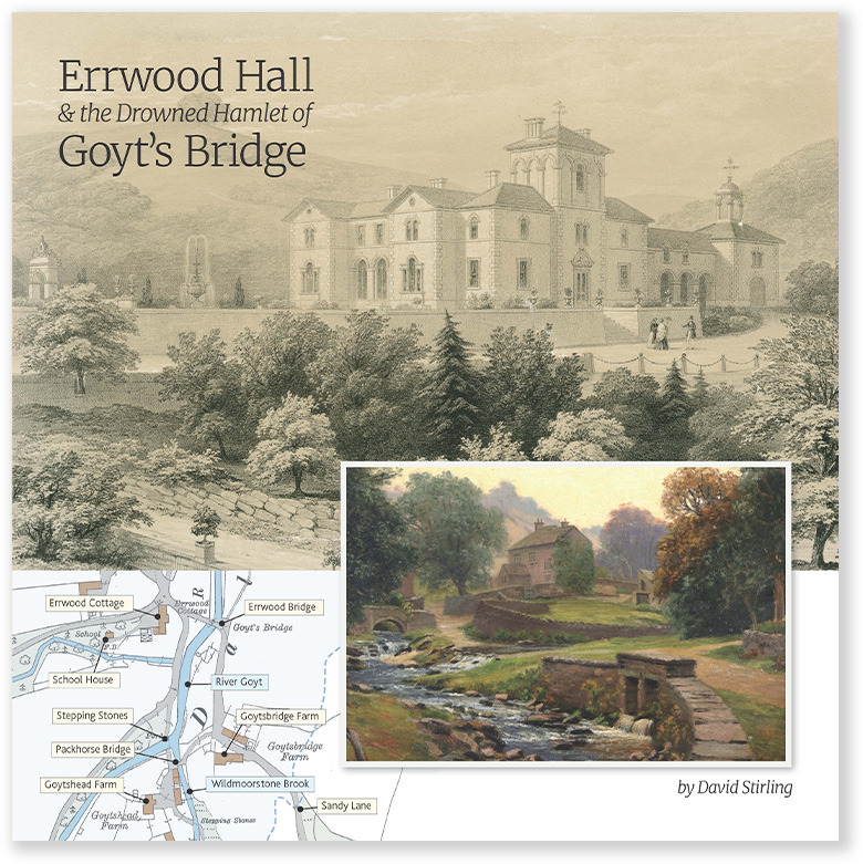
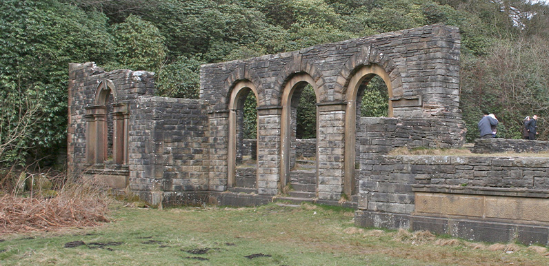
This 1.2 mile walk from Errwood Hall car park is the shortest in the series, but is also one of the most popular, visiting the ruins of Errwood Hall as well as the hill-top cemetery of the Grimshawes.
3: Valley Views
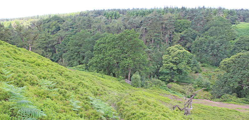
An easy 1.2 mile stroll from Errwood Hall car park along a narrow but scenic path that’s easily over-looked, passing along the opposite side of Shooter’s Clough to visit the ruins of the hall.
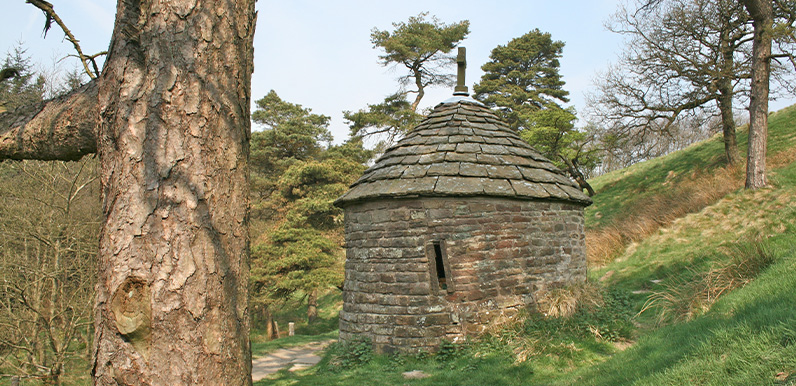
4: Errwood Hall & the Shrine
This 2.7-mile walk from Errwood Hall car park passes three of the most historic sites in the valley – Errwood Hall, the hill-top graves of the family who once lived there, and St. Joseph’s Shrine.
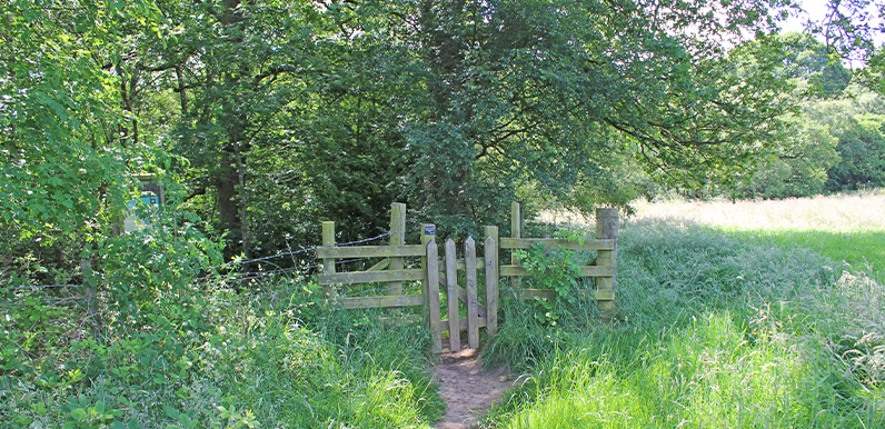
5: Whaley Bridge to Taxal
A gentle 2.9-mile stroll from the canal basin at Whaley Bridge to the Goyt, passing Taxal Church to reach Hillbridge Wood Nature Reserve, returning along the other side of the river.
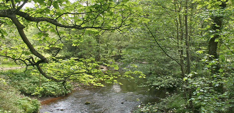
6: Taxal Edge
Starting from The Street car park in the valley, this 7.3-mile walk passes along a forest track before climbing up to Taxal Edge. There is also a shorter option that avoids the climb.
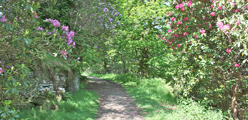
7: The Rhododendrons
A short walk of just under two miles from Errwood Hall car park along paths that burst with colour when the rhododendrons surrounding the ruins of Errwood Hall are in full bloom.
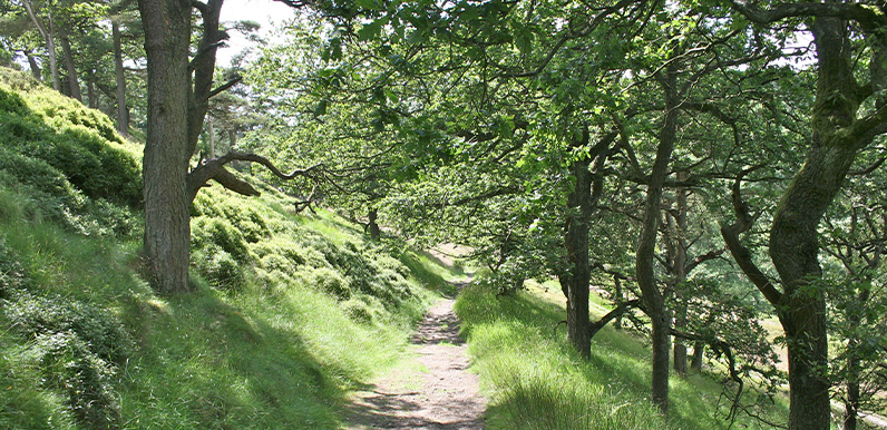
8: Errwood > Shining Tor
At just over 6 miles, this walk from Errwood Reservoir up to Shining Tor – one of Cheshire’s highest landmarks – is one of the longest in the series. But the rewards are some wonderful views.
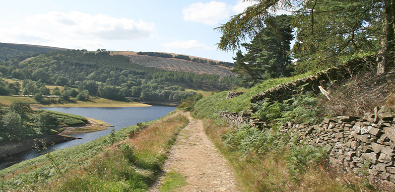
9: Buxton > Errwood Reservoir
This 7.8-mile walk starts from Burbage, just over a mile from the centre of Buxton, and crosses moorland paths to circle Errwood Reservoir, returning past the old packhorse bridge.
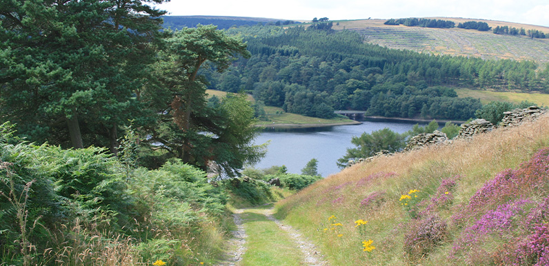
10: Old Goyt’s Lane > Errwood
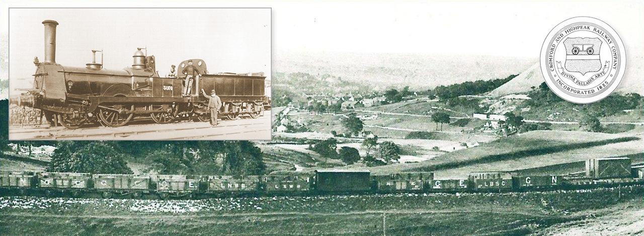
An easy 3-mile walk along the lane which once led from Buxton to the now-drowned hamlet of Goyt’s Bridge, returning across moorland and then the track of the Cromford & High Peak Railway.
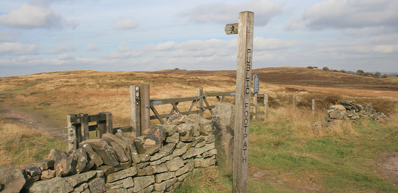
11. Derbyshire Bridge
Starting from close to the Cat & Fiddle Inn at Derbyshire Bridge car park, this 3.6-mile walk heads along the old Macclesfield to Buxton turnpike before crossing moorland to reach the packhorse bridge.
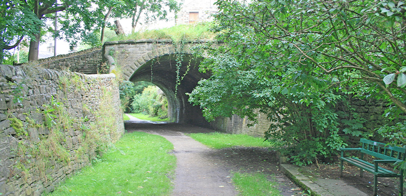
12: C&HPR Buxton > Whaley
This 9.4-mile walk follows – as far as possible – the route of the Cromford & High Peak Railway from the outskirts of Buxton to Whaley Bridge Canal Basin, returning by train.
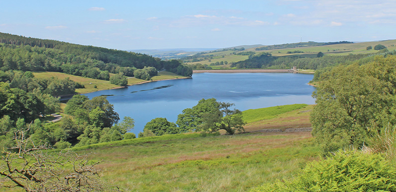
13. Errwood Reservoir Circuit
A complete, 5-mile circuit around Errwood Reservoir starting from Errwood Hall car park, passing along the picturesque Riverside Path and returning over the ancient packhorse bridge.
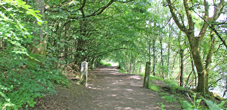
14: Fernilee Reservoir Circuit
An easy 4.3-mile circuit of Fernilee Reservoir from The Street car park to reach a footbridge over the Goyt, returning along the old railway track. A shorter option is also available.
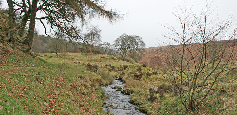
15: Errwood > Goytsclough
This 4.2-mile walk from Errwood Hall car park passes the ruins of Errwood Hall before rising up to reach open moorland, returning along a mix of stony tracks and riverside paths.
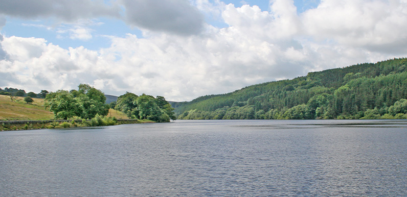
16. Fernilee Woodland
A short 2.8-mile walk around Fernilee Reservoir from the small lay-by at the foot of the Bunsal Incline, heading first along the old railway track and returning through the higher woodland path.
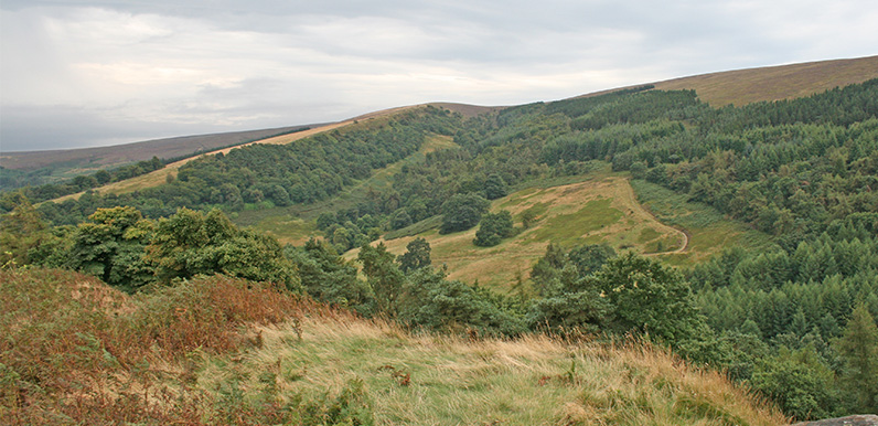
17. Foxlow > St. Joseph’s Shrine
This short, 1.6-mile stroll starts from a small lay-by along the ancient Roman road known as The Street, and crosses Foxlow Edge before dropping down to visit St. Joseph’s Shrine.
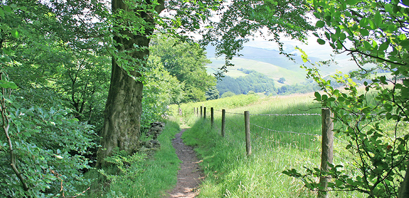
18: Fernilee West Bank
Starting from the small car park at the northern end of Fernilee Reservoir, this 3.3-mile walk takes the higher track through the trees before returning along the shoreline path.
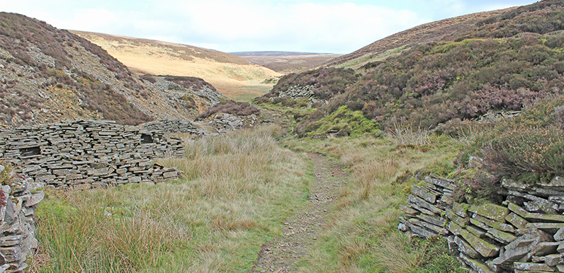
19: Axe Edge Moor
Starting from Derbyshire Bridge car park near the source of the River Goyt, this 7.1-mile walk crosses moorland to reach the remains of Danebower Quarry, returning past the Cat & Fiddle Inn.
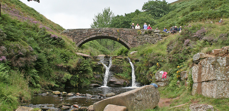
20: Three Shires Head
The historic landmark of Three Shires Head lies close to the Goyt Valley, at the junction of Derbyshire, Cheshire and Staffordshire. This 5.1-mile walk is the most popular on the website.
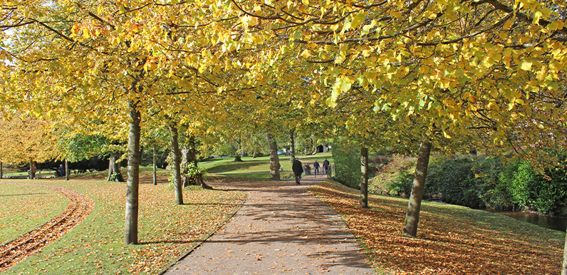
21: Buxton > Goyt Valley
At over nine miles, this walk from Buxton to Errwood Reservoir is one of the longest in the series, but is full of historic interest, passing both Poole’s Cavern and Solomon’s Temple.