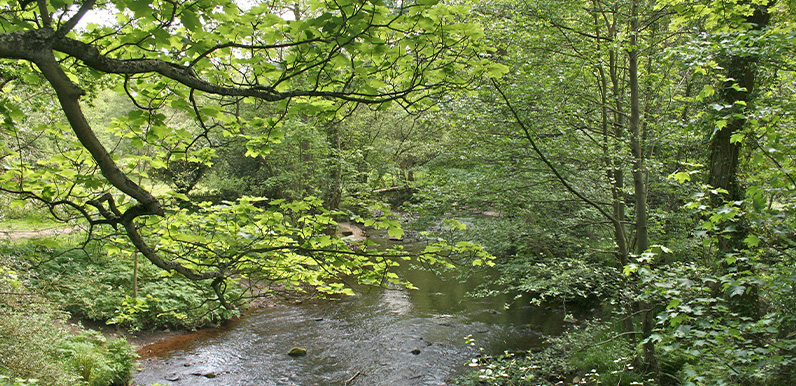
Above: Looking south along the River Goyt from Taxal Bridge at point 15.
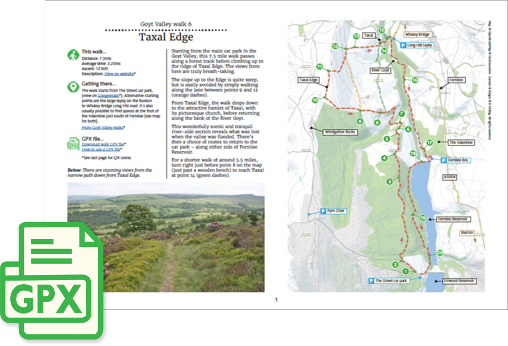
Length: 7.3mls | Av. time: 3.25hrs
Start: The Street car park
Starting from the main car park, just over the dam wall separating the two reservoirs, this 7.3-mile circular walk passes along a forest track before climbing up to the ridge of Taxal Edge with its wonderful panoramic views. There’s also a shorter, 5.5-mile option that avoids the climb.
The walk then drops down to the attractive hamlet of Taxal, with its picturesque church, before returning along the bank of the River Goyt. This wonderfully scenic and tranquil river-side section reveals what was lost when the valley was flooded. There’s then a choice of routes to return to the car park – along either side of Fernilee Reservoir.
6. Taxal Edge
A detailed, step-by-step description and map of this walk are available to download for just £2.50. A walking app GPX file is also available at £1.50. Save on both for just £3.50. All proceeds help cover the hosting costs of this website.