A recently discovered press clipping from 1964 reveals that the picturesque packhorse bridge that once lay in the heart of Goyt’s Bridge was very nearly lost due to an administrative error.
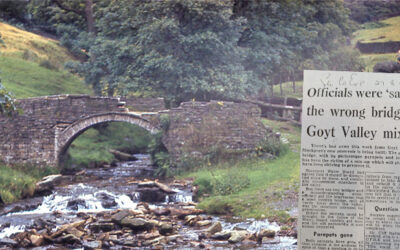

A recently discovered press clipping from 1964 reveals that the picturesque packhorse bridge that once lay in the heart of Goyt’s Bridge was very nearly lost due to an administrative error.
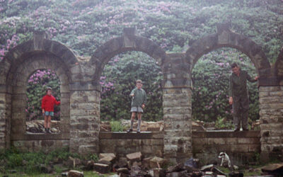
A series of family holiday snaps taken in the late 1950s and early ’60s, before the flooding of Errwood Reservoir, provide a unique view of both Errwood Hall and the packhorse bridge.
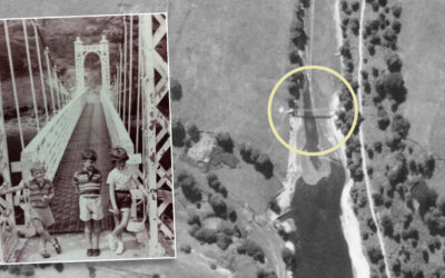
A recently discovered 1945 aerial photo of the southern tip of Fernilee Reservoir captures the metal suspension bridge which was removed in the mid ’60s, shortly before Errwood was flooded.
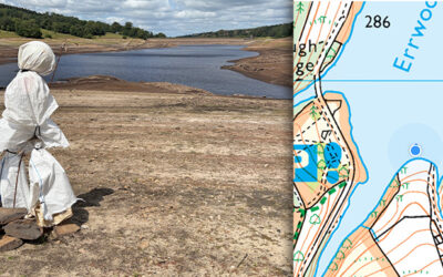
The ghostly figure of Bob looks out across Errwood Reservoir as the water level continues to drop dramatically. Will he be first to see Errwood Bridge appear above the surface. Time will tell…
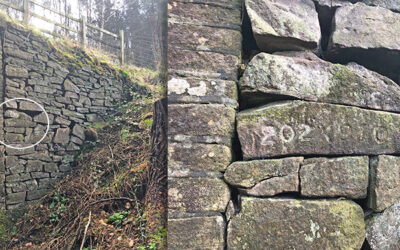
A recently discovered set of numbers are similar to those on Joe Brown’s orienteering challenge. But these point to Errwood Bridge, which now lies under Errwood Reservoir.
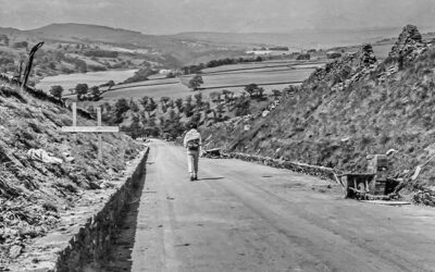
Some photos taken in 1967, shortly before the completion of Errwood Reservoir, including views along the Bunsall Incline as well as the suspension bridge which once spanned Fernilee Reservoir.
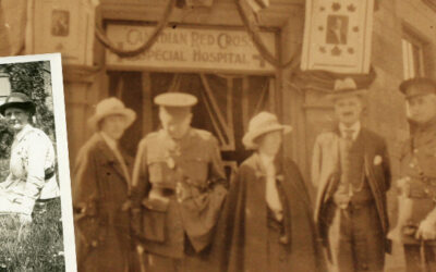
Four photos have been discovered of Goyt’s Bridge, taken by a Canadian nurse in 1918. They include both bridges as well as a wonderful view across the now-drowned hamlet.
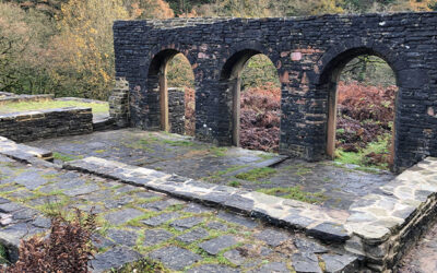
It’s good to see that the fencing around the ruins of Errwood Hall has finally been removed and visitors are again free to wander around this historic site. I just hope we can keep the vandals away.
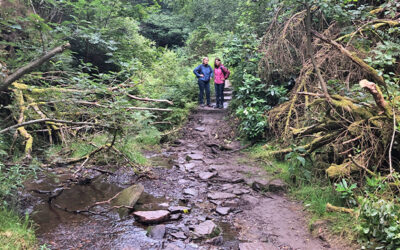
The mystery of the vanished footbridge along the path around the ruins of Errwood Hall deepens. I’m just hoping Forestry England will replace it. But their silence makes me fear for the worst.
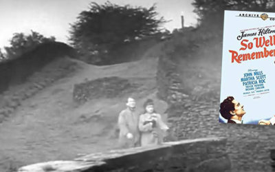
A treasure trove of recent discoveries from Facebook members include a 1930s photo of Errwood Hall, plus footage from a 1948 film and a 1966 colour photo showing the packhorse bridge.
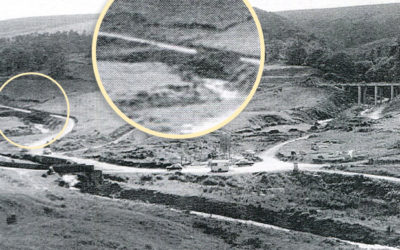
A grainy photo taken shortly before Errwood Reservoir was flooded in 1968 seems to solve the mystery of the sturdy gateposts that have recently surfaced during the drought of August 2022.
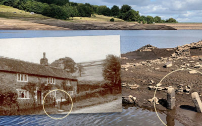
The water level in Errwood Reservoir has dropped significantly over recent weeks, revealing some interesting features from the past. Trying to identify where they once lay is a fascinating challenge.
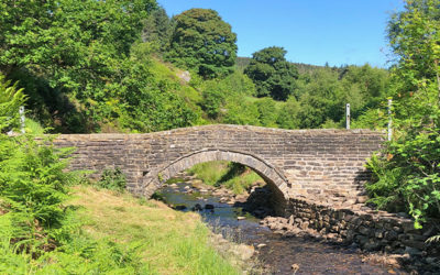
Great news; the historic packhorse bridge which once lay in the heart of the now drowned hamlet of Goyt’s Bridge has finally been repaired and the barriers removed.
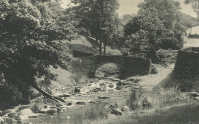
The final part of Crichton Porteous’s ‘Goyt Recollections’ provides a fascinating picture of the valley in the mid 1950s, describing the area all the way from Goyt’s Bridge to Taxal.
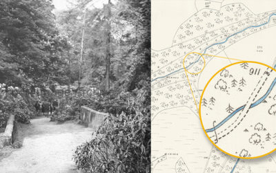
Two bridges – both close to Errwood Hall. One that I’d never seen before, and another which I wasn’t sure ever existed. All it needed to solve the mystery was a pair of wellington boots.
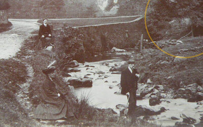
An old postcard recently appeared on ebay captioned ‘Goyt Valley’. But I really struggled to work out where it was taken. Sharper eyes than mine spotted a bridge arch hidden by trees. Mystery solved!
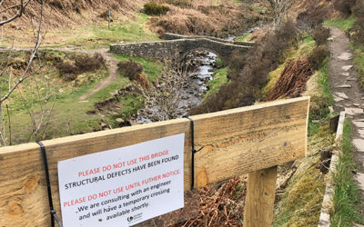
It’s sad to see that the picturesque packhorse bridge at Goytsclough has been closed due to some of the stonework collapsing into the Goyt. I’m hoping United Utilities don’t take long to repair it.
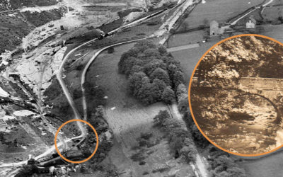
A recently discovered photo shows the Powder Mill Bridge which now lies under Fernilee Reservoir. It would have been an important crossing point over the Goyt for local workers and families.
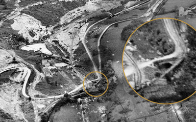
I managed to solve the question of whether the road from Goyt’s Bridge to Fernilee went through the gunpowder mill. But posed another with a photo of the mill entrance that just doesn’t seem right.
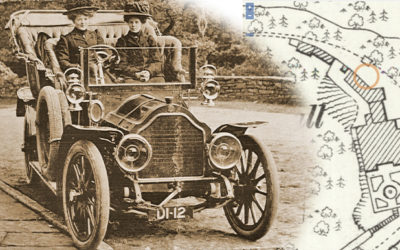
A photo of two young ladies dressed in mourning posing on an early motor car outside Errwood Hall has always intrigued me. A ‘Then & Now’ fade shows the scene today.
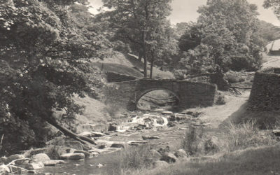
Two very similar postcard views of Goyts Bridge are probably separated by only a few years, but reveal a massive change in fortunes for this wonderfully scenic spot beside the Goyt.
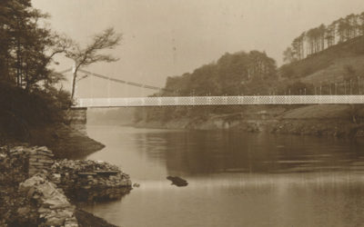
A 1948 article describing a walk through the Goyt Valley, from Whaley Bridge to Buxton, makes fascinating reading. It also reveals that I’d got the position of the suspension bridge completely wrong.
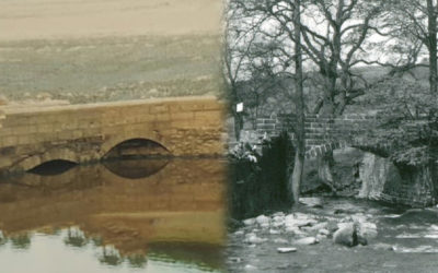
Gary’s photos of Errwood Bridge emerging during the 1984 drought show it had two arches. But all the pre-flood photos I’ve seen only seem to show the one. Bill Brocklehurst solves the mystery.
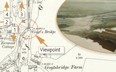
Gary’s photos of Errwood Bridge emerging from the waters of Errwood Reservoir during the drought of 1984 sparked a lot of interest. I’ve included some maps, and a ‘then & now’ fade, to show its position.
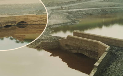
A unique collection of photos show Errwood Bridge emerging from beneath the water during a long dry spell in the autumn of 1984. It was one of two bridges in Goyt’s Bridge. But this wasn’t saved.
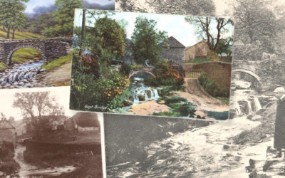
A wonderful painting of the packhorse bridge captures the picturesque beauty of the Goyt Valley. It now spans the Goyt about a mile upstream, where it was moved in 1965.
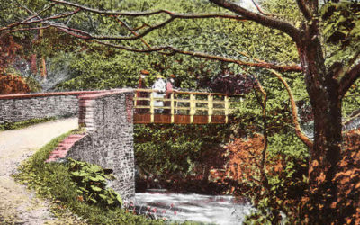
A photo captioned ‘View of footbridge over stream (possibly Goyt Valley) c.1854’ was a fascinating find. But identifying where it once stood wasn’t so easy. Could it have been the one over the Goyt at Taxal?
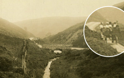
A signpost beside the Cat & Fiddle points towards Derbyshire Bridge at the southern end of the Goyt Valley. But this is Goyt’s Moss. And the bridge is further along the road towards the twin reservoirs.
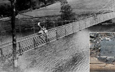
Another of my theories bites the dust! I was sure the brick pillar that surfaced during this summer must have been one of the supports for the suspension bridge. But it appears not.
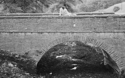
A recently discovered photo shows the bridge over the Bunsal Incline on the C&HP Railway in the late 1960s, shortly before the track was tarmacked to create the main route into the valley.