…to everyone who shares my passion for the magical Goyt Valley, close to Buxton in the Peak District National Park.
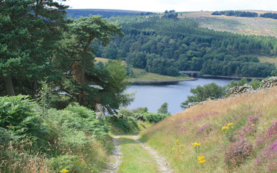

…to everyone who shares my passion for the magical Goyt Valley, close to Buxton in the Peak District National Park.
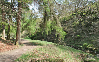
There are some wonderful walks in and around the Goyt Valley. I’ve included some personal favourites.
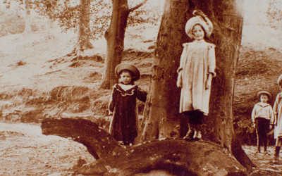
A unique community vanished beneath the two reservoirs. Here’s the story in both words and pictures.
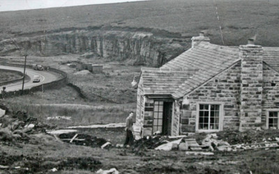
My dad told me about the time a pig ran off along the path going up to the hall. It ran over the edge and droped in the ravine. My grandad managed to get it out and clamed it for himself!
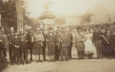
Mel Rogerson writes: “I’ve recently discovered that one of my ancestors was a gamekeeper at Errwood Hall throughout the 1800s and wondered whether you have the dates for the staff photos?”
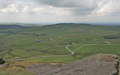
John writes: “Today I walked up to Shining Tor, down and along the valley back to Pym Chair. It is a beautiful area with spectacular scenery and I tried to imagine it as it was before the reservoirs were constructed and the pine forests planted.”
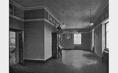
It seems that rare fragments of Errwood Hall have survived! Some plasterwork copies of the Elgin Marbles were rescued before the hall was demolished in 1934.
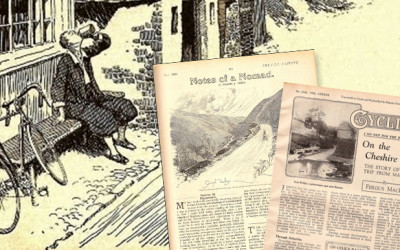
Peter Jourdain writes: “I found your lovely website and Youtube videos on the Goyt Valley after having searched on the web. I am an American, and have never been to the Goyt, but am a cyclist and cycling historian, with a primary emphasis on the golden era of British cycling clubs and cycletouring in the 1920s and ’30s.”
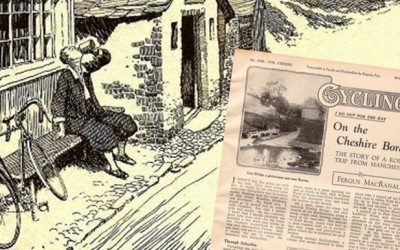
I passed Goyt’s Bridge Farm, which is to be demolished, and entered the lower stretch of the valley, where the second reservoir will be. They have already begun work by the Powder Mill.
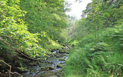
A 2.3 mile walk from Errwood Hall car park to one of the most picturesque spots in the Goyt Valley – along a tree-lined track to reach the River Goyt, which is very much just a stream at this point.
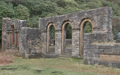
This 1.2 mile walk from Errwood Hall car park is the shortest in the series, but is also one of the most popular, visiting the ruins of Errwood Hall as well as the hill-top cemetery of the Grimshawes.
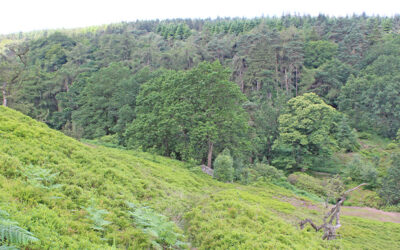
An easy 1.2 mile stroll from Errwood Hall car park along a narrow but scenic path that’s easily over-looked, passing along the opposite side of Shooter’s Clough to visit the ruins of the hall.
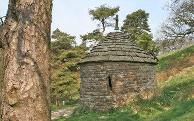
This 2.7-mile walk from Errwood Hall car park passes three of the most historic sites in the valley – Errwood Hall, the hill-top graves of the family who once lived there, and St. Joseph’s Shrine.
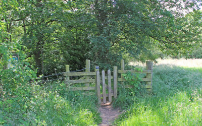
A gentle 2.9-mile stroll from the canal basin at Whaley Bridge to the Goyt, passing Taxal Church to reach Hillbridge Wood Nature Reserve, returning along the other side of the river.
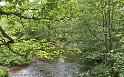
Starting from The Street car park in the valley, this 7.3-mile walk passes along a forest track before climbing up to Taxal Edge. There is also a shorter option that avoids the climb.
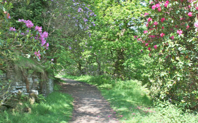
A short walk of just under two miles from Errwood Hall car park along paths that burst with colour when the rhododendrons surrounding the ruins of Errwood Hall are in full bloom.
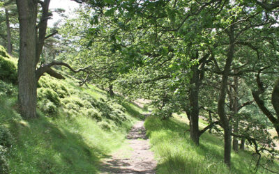
At just over 6 miles, this walk from Errwood Reservoir up to Shining Tor – one of Cheshire’s highest landmarks – is one of the longest in the series. But the rewards are some wonderful views.
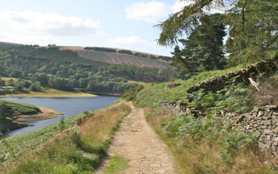
This 7.8-mile walk starts from Burbage, just over a mile from the centre of Buxton, and crosses moorland paths to circle Errwood Reservoir, returning past the old packhorse bridge.
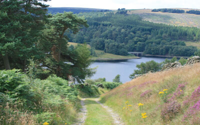
An easy 3-mile walk along the lane which once led from Buxton to the now-drowned hamlet of Goyt’s Bridge, returning across moorland and then the track of the Cromford & High Peak Railway.
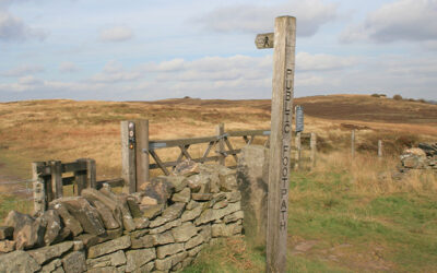
Starting from close to the Cat & Fiddle Inn at Derbyshire Bridge car park, this 3.6-mile walk heads along the old Macclesfield to Buxton turnpike before crossing moorland to reach the packhorse bridge.
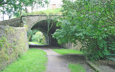
This 9.4-mile walk follows – as far as possible – the route of the Cromford & High Peak Railway from the outskirts of Buxton to Whaley Bridge Canal Basin, returning by train.
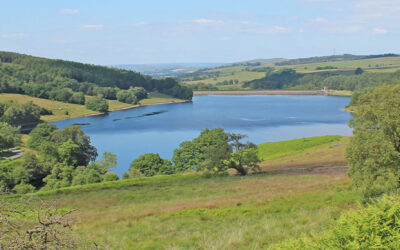
A complete, 5-mile circuit around Errwood Reservoir starting from Errwood Hall car park, passing along the picturesque Riverside Path and returning over the ancient packhorse bridge.
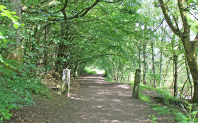
An easy 4.3-mile circuit of Fernilee Reservoir from The Street car park to reach a footbridge over the Goyt, returning along the old railway track. A shorter option is also available.
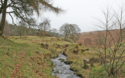
This 4.2-mile walk from Errwood Hall car park passes the ruins of Errwood Hall before rising up to reach open moorland, returning along a mix of stony tracks and riverside paths.
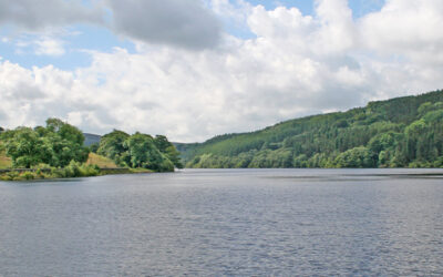
A short 2.8-mile walk around Fernilee Reservoir from the small lay-by at the foot of the Bunsal Incline, heading first along the old railway track and returning through the higher woodland path.
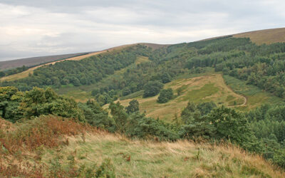
This short, 1.6-mile stroll starts from a small lay-by along the ancient Roman road known as The Street, and crosses Foxlow Edge before dropping down to visit St. Joseph’s Shrine.
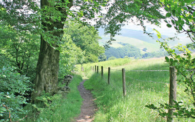
Starting from the small car park at the northern end of Fernilee Reservoir, this 3.3-mile walk takes the higher track through the trees before returning along the shoreline path.
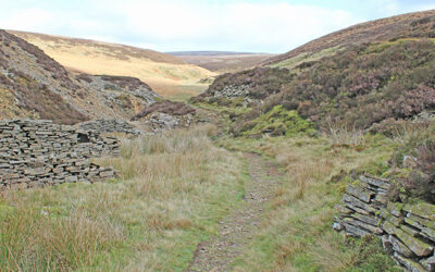
Starting from Derbyshire Bridge car park near the source of the River Goyt, this 7.1-mile walk crosses moorland to reach the remains of Danebower Quarry, returning past the Cat & Fiddle Inn.
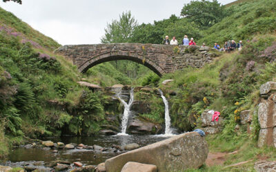
The historic landmark of Three Shires Head lies close to the Goyt Valley, at the junction of Derbyshire, Cheshire and Staffordshire. This 5.1-mile walk is the most popular on the website.
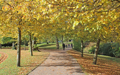
At over nine miles, this walk from Buxton to Errwood Reservoir is one of the longest in the series, but is full of historic interest, passing both Poole’s Cavern and Solomon’s Temple.