
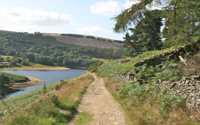
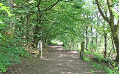
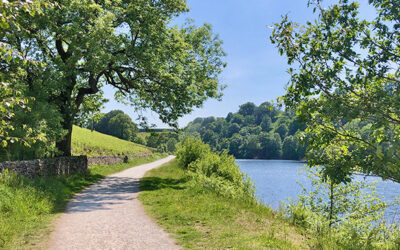
Above: Walking north along the old railway track with Fernilee Reservoir on the right.
Goyt Valley 4-7 mile walks
![]() The walks on this page range in distance from four to seven miles. Simply click on any link below for more information on any walk, and to download full directions with a map, as well as a GPX file suitable for all popular walking apps (more on walking apps).
The walks on this page range in distance from four to seven miles. Simply click on any link below for more information on any walk, and to download full directions with a map, as well as a GPX file suitable for all popular walking apps (more on walking apps).
All walks | 1-3 mile walks | 4-7 mile walks | 8-12 mile walks
6: Taxal Edge
Starting from The Street car park in the valley, this 7.3-mile walk passes along a forest track before climbing up to Taxal Edge. There is also a shorter option that avoids the climb.
8: Errwood > Shining Tor
At just over 6 miles, this walk from Errwood Reservoir up to Shining Tor – one of Cheshire’s highest landmarks – is one of the longest in the series. But the rewards are some wonderful views.
9: Buxton > Errwood Reservoir
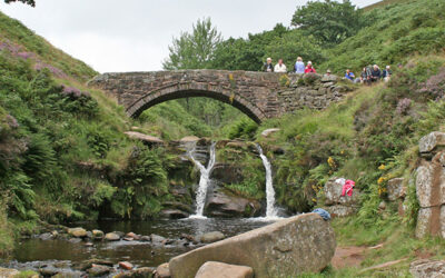
This 7.8-mile walk starts from Burbage, just over a mile from the centre of Buxton, and crosses moorland paths to circle Errwood Reservoir, returning past the old packhorse bridge.
13. Errwood Reservoir Circuit
A complete, 5-mile circuit around Errwood Reservoir starting from Errwood Hall car park, passing along the picturesque Riverside Path and returning over the ancient packhorse bridge.
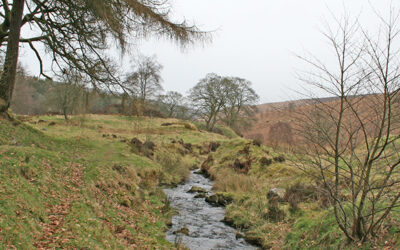
14: Fernilee Reservoir Circuit
An easy 4.3-mile circuit of Fernilee Reservoir from The Street car park to reach a footbridge over the Goyt, returning along the old railway track. A shorter option is also available.
15: Errwood > Goytsclough
This 4.2-mile walk from Errwood Hall car park passes the ruins of Errwood Hall before rising up to reach open moorland, returning along a mix of stony tracks and riverside paths.
19: Axe Edge Moor
Starting from Derbyshire Bridge car park near the source of the River Goyt, this 7.1-mile walk crosses moorland to reach the remains of Danebower Quarry, returning past the Cat & Fiddle Inn.
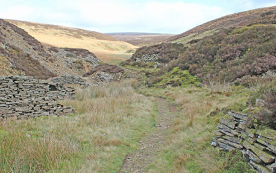
20: Three Shires Head
The historic landmark of Three Shires Head lies close to the Goyt Valley, at the junction of Derbyshire, Cheshire and Staffordshire. This 5.1-mile walk is the most popular on the website.
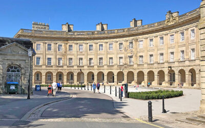
25: Buxton > Burbage Edge
Starting from Buxton’s best known building, The Crescent, this 6.4-mile walk passes through two of the town’s parks before heading up to Burbage Edge along the border of the Goyt Valley.
28: Twin Reservoirs Circuit
This complete, 7.6-mile circuit of both Errwood and Fernilee Reservoirs starts from The Street car park and passes the ruins of Errwood Hall as well as the historic packhorse bridge.