Aug 1, 2015 |
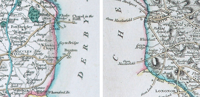
Above: First issued in 1787, these images are copied from the 1809 edition of John Cary’s ‘New and Correct English Atlas’. Maps courtesy of Copperplate Antique Maps. (Click to view a comprehensive stock of original antique county maps.) John Cary...

Jul 6, 2015 |
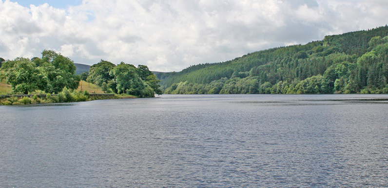
Goyt Valley walk 14: Fernilee circular Walk distance: 4 miles | Date recorded: March 2016 (updated July 2019)Start point: Goyt Valley main car park (SK17 6SX) | Google MapGPX file: Just £1.50 | Download file This easy, four-mile stroll around Fernilee Reservoir is a...
Jul 1, 2015 |
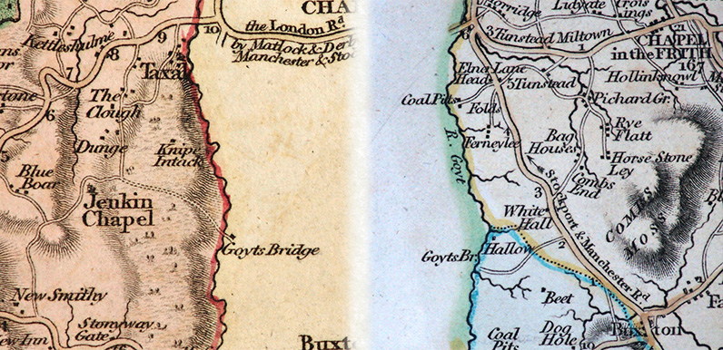
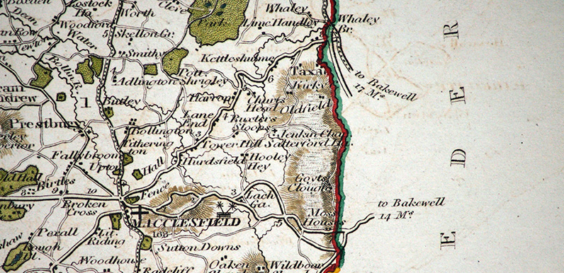
Above: Click either map (Cheshire top and Derbyshire above) to enlarge. Above: First issued in 1801, these images are copied from the 1811 edition of John Cary’s ‘New English Atlas’. John Cary (c1801) By Kevin Welch of Copperplate Antique Maps....
Jun 7, 2015 |
Goyt Valley walk 15: Errwood to Goytsclough Walk distance: 5 miles | Date recorded: March 2016Start point: Errwood Hall car park | Google MapGPX file: Just £1.50 | Download file There’s a mix of easy walking along tree-lined footpaths with stony – and...
Jun 5, 2015 |
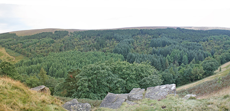
Goyt Valley walk 16: Fernilee woodland walk Walk distance: 3 miles | Date recorded: July 2016Start point: Bunsal Incline car park | Google MapGPX file: Just £1.50 | Download file I recorded this walk in early July, when the sun had finally managed to break through the...
Jun 4, 2015 |
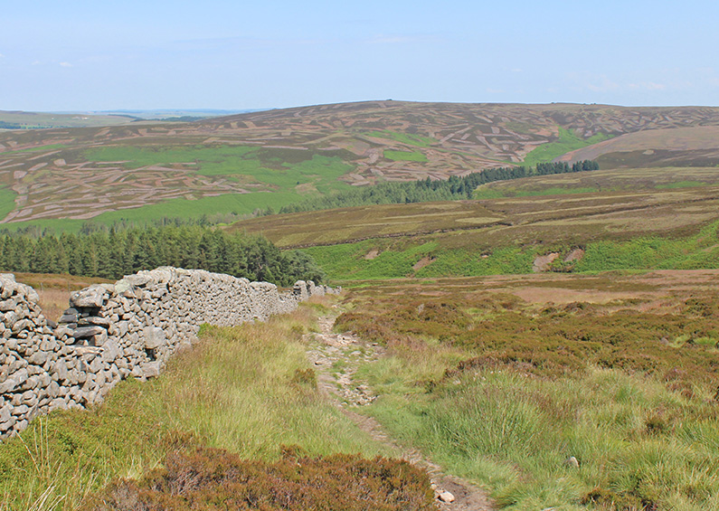
Goyt Valley walk 17: Foxlow Edge Walk distance: 1.5 miles | Date recorded: August 2016Start point: The Street lay-by (SK17 6SX) | Google MapGPX file: Just £1.50 | Download file Recorded on a grey and damp mid-August day, this short circular walk is perfect for...
Jun 3, 2015 |
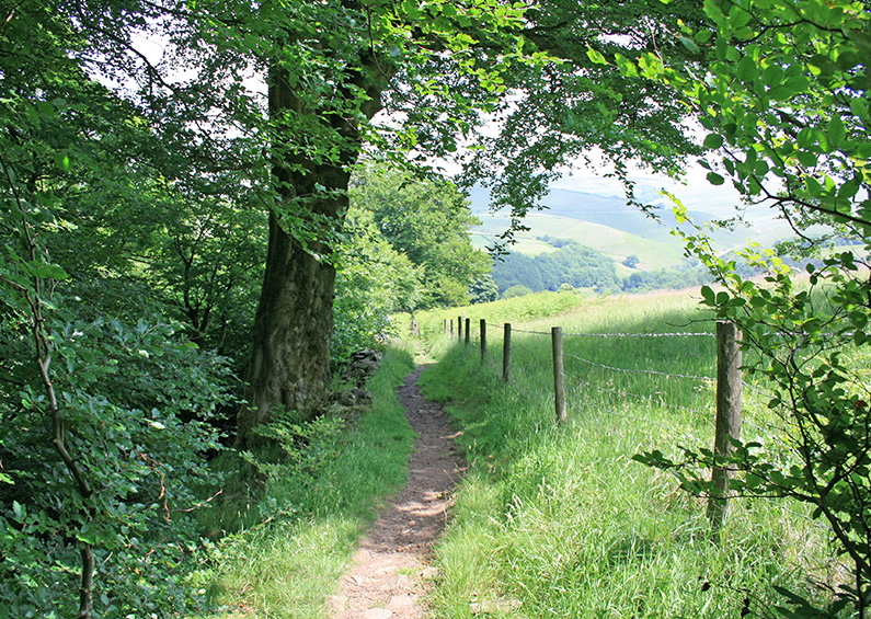
Goyt Valley walk 18: Fernilee Reservoir west bank Walk distance: 3.5 miles | Date recorded: June 2017Start point: Fernilee Reservoir north car park (SK23 7HB) | Google MapGPX file: Just £1.50 | Download file Starting from the small carpark at the northern end of...
Jun 2, 2015 |
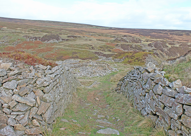
Goyt Valley walk 19: Axe Edge Moor Walk distance: 7 miles | Date recorded: October 2018Start point: Derbyshire Bridge car park (SK11 0AR*) | Google MapGPX file: Just £1.50 | Download file Recorded during a gloriously bright autumn day, this easy 7-mile walk starts...
Jun 2, 2015 |
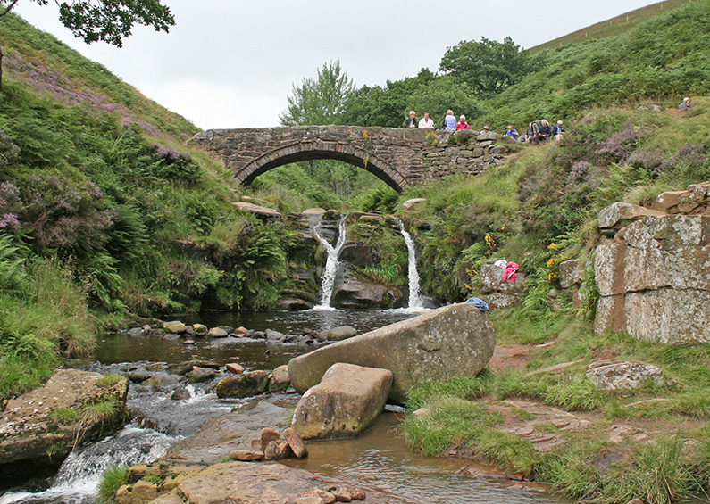
Goyt Valley walk 20: Three Shires Head Walk distance: 5 miles | Date recorded: February 2019Start point: Clough House car park (SK11 0BD) | Google MapGPX file: Just £1.50 | Download file Recorded on a gloriously bright and sunny day in late February, this isn’t...
Jun 1, 2015 |
Above: Click map to enlarge. Maps courtesy of Copperplate Antique Maps. (Click to view a comprehensive stock of original antique county maps.) Above: First issued between 1824-8, this image is copied from W Ebden and J Duncans’ ‘A Complete County Atlas of...
