All that remains of Castedge Farmhouse today is a sad pile of stones beside a junction of footpaths showing the muddled outline of a once attractive and fairly substantial stone building.
All that remains of Castedge Farmhouse today is a sad pile of stones beside a junction of footpaths showing the muddled outline of a once attractive and fairly substantial stone building.
The stones allowed pedestrians to cross the River Goyt between Gatehouse Cottage and Goytshead Farm. Wildmoorstone Brook flowed into the Goyt at this point, from high on the moors.
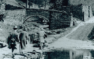
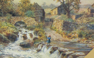
The small packhorse bridge which stood for centuries in the heart of Goyt’s Bridge has miraculously survived. Though not many people who stroll past it may realise it.
There were two bridges in Goyt’s Bridge. The one that features in all the photos and postcards is the picturesque packhorse bridge. This bridge stood close to The Gatehouse & Gardener’s Cottage.
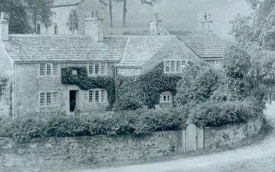
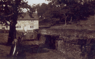
Although marked on old OS maps as Errwood Cottage, it’s usually known as the ‘Gatehouse & Gardener’s Cottage’, and was situated beside the gates at the foot of the lane leading up to Errwood Hall.
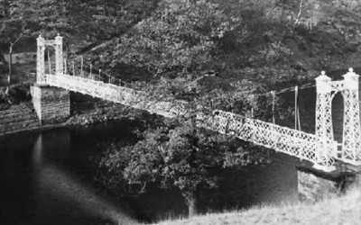
I’ve always been curious about the small, picturesque suspension bridge shown in some old photos of the valley, wondering when it was built, what happened to it, and where it was situated.
One favourite trip was up the old Roman road, The Street, then across the fields to visit the small shrine of St. Joseph’s, before calling in at the coal mine on the way back for a lesson on its origins.
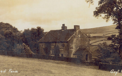
Sarah is searching for Errwood Farm where her grandparents once lived. But although she thinks it was the lowest-lying farm not to be submerged, she’s been unable to locate the ruins.