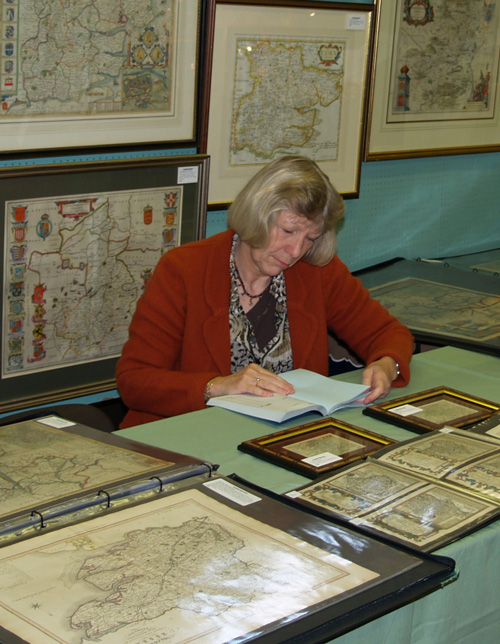
Kevin’s wife and business partner, Caroline, is pictured above with a display of their historic maps at an antique fair in Saffron Walden.
Many of these tourists will have visited the hamlet of Goyt’s Bridge, crossing the stepping stones for tea, sandwiches and ice cream in the farmhouse cafes, and enjoying the views from the twin bridges. It was an idyllic spot, which now lies under the cold waters of Errwood Reservoir.
But what of the history of Goyt’s Bridge in the centuries before the tourists came? We know there was a Roman road running through this very spot. And after the roads fell to ruin, trains of up to 40 packhorses came though, carrying salt, coal and various other essential supplies (click for more details of these tracks).
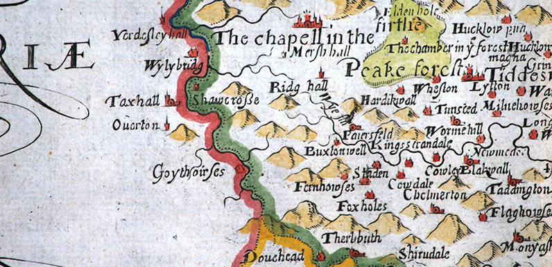
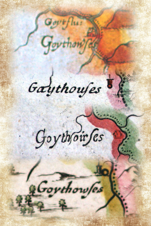
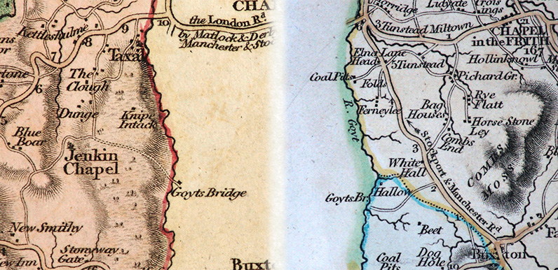
One of the best sources of clues are old maps of the area. Kevin Welch of Copperplate Antique Maps has kindly allowed me to copy a series of these – all centred on Goyt’s Bridge. They show that the name has changed over the years – sometimes because of mistakes made by the cartographers.
The oldest maps show it as Goythouses. But it’s also been shown as Goythoires (probably because the engraver has misread ‘u’ as ‘ir’), and Goythowses. The earliest map we’ve managed to find so far showing it as Goyt’s Bridge was first published in 1787.
These two late 18th century county maps include a wealth of information, showing the old Roman road running through the hamlet from Jenkin Chapel, and up Sandy Lane to meet the Buxton to Whaley Bridge road.
Click here to view all the maps collected so far.
