
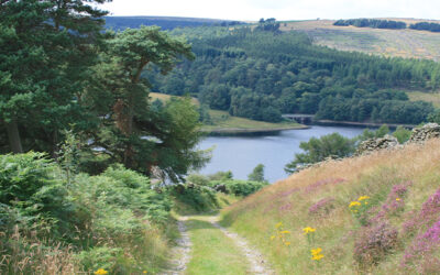
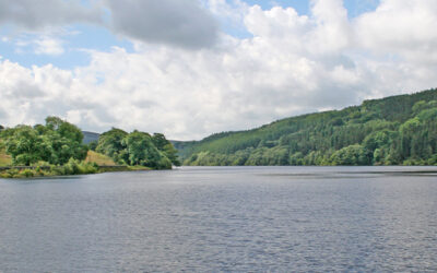
Above: The path leading down from The Street car park to Fernilee Reservoir.
Goyt Valley 1-3 mile walks
![]() The walks on this page range in distance from one to three miles. Simply click on any link below for more information on any walk, and to download full directions with a map, as well as a GPX file suitable for all popular walking apps (more on walking apps).
The walks on this page range in distance from one to three miles. Simply click on any link below for more information on any walk, and to download full directions with a map, as well as a GPX file suitable for all popular walking apps (more on walking apps).
All walks | 1-3 mile walks | 4-7 mile walks | 8-12 mile walks
1: The Riverside Path
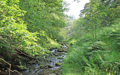
A 2.3 mile walk from Errwood Hall car park to one of the most picturesque spots in the Goyt Valley – along a tree-lined track to reach the River Goyt, which is very much just a stream at this point.
2: Errwood Hall & the Graves
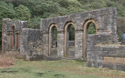
This 1.2 mile walk from Errwood Hall car park is the shortest in the series, but is also one of the most popular, visiting the ruins of Errwood Hall as well as the hill-top cemetery of the Grimshawes.
3: Valley Views
An easy 1.2 mile stroll from Errwood Hall car park along a narrow but scenic path that’s easily over-looked, passing along the opposite side of Shooter’s Clough to visit the ruins of the hall.
4: Errwood Hall & the Shrine
This 2.7-mile walk from Errwood Hall car park passes three of the most historic sites in the valley – Errwood Hall, the hill-top graves of the family who once lived there, and St. Joseph’s Shrine.
5: Whaley Bridge to Taxal
A gentle 2.9-mile stroll from the canal basin at Whaley Bridge to the Goyt, passing Taxal Church to reach Hillbridge Wood Nature Reserve, returning along the other side of the river.
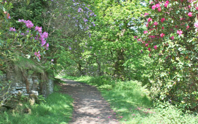
7: The Rhododendrons
A short walk of just under two miles from Errwood Hall car park along paths that burst with colour when the rhododendrons surrounding the ruins of Errwood Hall are in full bloom.
10: Old Goyt’s Lane > Errwood
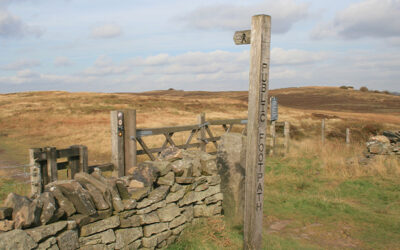
An easy 3-mile walk along the lane which once led from Buxton to the now-drowned hamlet of Goyt’s Bridge, returning across moorland and then the track of the Cromford & High Peak Railway.
11. Derbyshire Bridge
Starting from close to the Cat & Fiddle Inn at Derbyshire Bridge car park, this 3.6-mile walk heads along the old Macclesfield to Buxton turnpike before crossing moorland to reach the packhorse bridge.
16. Fernilee Woodland
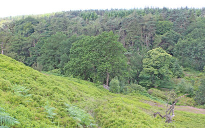
A short 2.8-mile walk around Fernilee Reservoir from the small lay-by at the foot of the Bunsal Incline, heading first along the old railway track and returning through the higher woodland path.
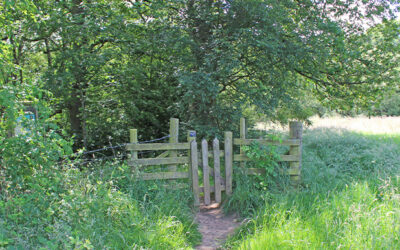
17. Foxlow > St. Joseph’s Shrine
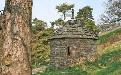
This short, 1.6-mile stroll starts from a small lay-by along the ancient Roman road known as The Street, and crosses Foxlow Edge before dropping down to visit St. Joseph’s Shrine.
18: Fernilee West Bank
Starting from the small car park at the northern end of Fernilee Reservoir, this 3.3-mile walk takes the higher track through the trees before returning along the shoreline path.
27: C&HPR short circuit
A short, 2.3-mile stroll from the car park by the small reservoir that once watered steam engines on the C&HP Railway, along the track to a railway tunnel and returning along moorland paths.