Oct 27, 2016 |
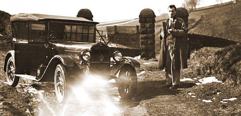
Above: This 1890 OS map (click to enlarge) shows both the Old Goyt’s Lane road into Goyt’s Bridge, and the Bunsall Incline. The area shaded pale blue shows Errwood Reservoir today. I’ve marked where I thought the photo must have been taken. And the...
Oct 22, 2016 |
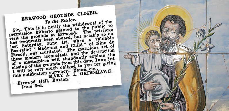
Above: Mary, the last of the Grimshawe family who once owned the Errwood estate. Below: Dolores de Ybarguen, the Spanish lady to whom the shrine is dedicated. Many thanks to Mike for sending me a newspaper cutting about the closure of public access...
Mar 2, 2016 |
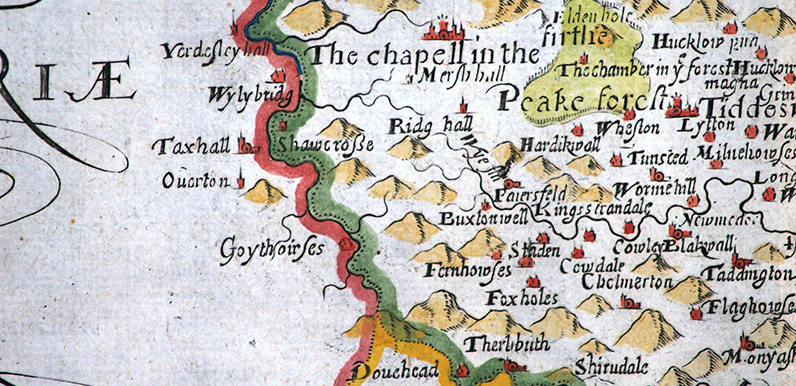
Above: Goyt’s Bridge is shown as Goythouses, Goythowses – and even Goythoires – on maps until the early 1800s. Above: All the maps featured on the site, as well as the descriptions, have been kindly provided by Kevin Welch of Copperplate Antique...
Feb 29, 2016 |
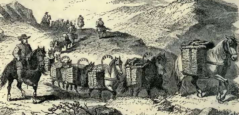
Above: A Victorian illustration of a 16th century packhorse train making its way across the Pennines. The bells hanging above the horses’ panniers could be heard from some distance. Above: This 17th century map shows Goyt’s Bridge as Goythowses (click to...
Feb 24, 2016 |
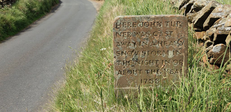
Above: Photo by Simon Butler. Above: The reverse of the stone (click to enlarge). Just who was the lady who left a frozen footprint in the snow beside the dead body? (Photo Dr. Tony Shaw.) Above: A wonderful woodcut illustration of Saltersford Hall Farm by Howard...
Feb 23, 2016 |
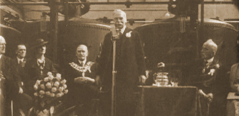
Above: Members of Stockport Corporation attend the opening ceremony of Fernilee Reservoir in 1937. Above: Click the image to view a cine film taken of the Inauguration ceremony at the start of construction in 1932. The construction of the twin reservoirs of Fernilee...
Feb 1, 2016 |
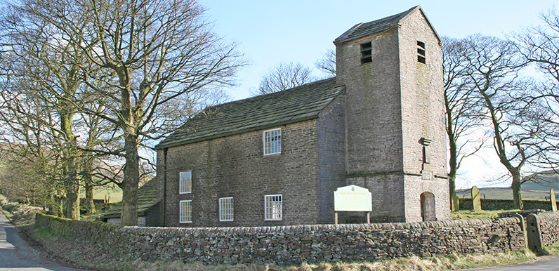
Above: Jenkin Chapel stands at the meeting point of three ancient trackways. The road to the left in this photo is known as ‘The Street’ and is marked on maps as a Roman road. It leads past Pym Chair to the main car park beside the twin reservoirs. Click...
