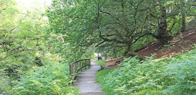
The woodland path drops down to the River Goyt, which is very much a stream at this point.
Full directions

Click below for a pdf including stage-by-stage details of the route with photos and a map, as well as links to car parks and public transport. A walking app GPX is also available.
Walk details
Length: 2.3mls | Av. time: 1hr | Ascent: 197ft
Start: Errwood Hall car park | Google Map
Walk description, map & GPX | Download
This short walk is probably the easiest in this series, but includes one of the most scenic spots in the valley, as it runs down to the River Goyt (which is very much a stream at this point).
The section between points 4 and 5 is along a solid track making it ideal for wheelchair users, or those with small children and pushchairs. And there’s a small layby just beyond the gate to park.
There are also some great paces for picnics, alongside the Goyt. The walk then continues to the ancient packhorse bridge, just a short distance further, returning along the narrow lane (which is one-way traffic, coming from the direction of the car park).
Route photos
Stages 1-6 of the route. Click any to enlarge and scroll through.
Relive video
Click to play and use the expand option to view in full-screen. More Monsal Trail Relives.
