Joe Brown’s Numbers is a 20-mile orienteering challenge around the Goyt Valley created by the famous climber in the 1960s. I’ve divided it into two more manageable walks with clues.
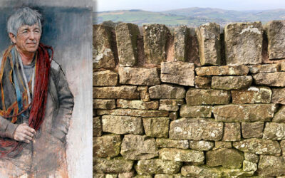
Joe Brown’s Numbers is a 20-mile orienteering challenge around the Goyt Valley created by the famous climber in the 1960s. I’ve divided it into two more manageable walks with clues.
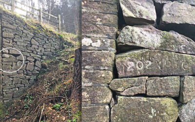
A recently discovered set of numbers are similar to those on Joe Brown’s orienteering challenge. But these point to Errwood Bridge, which now lies under Errwood Reservoir.
Joe Brown died last year, acknowledged as one of Britain’s finest mountaineers. In the early ’60s Joe created an orienteering course in and around the Goyt Valley, known as ‘Joe Brown’s Numbers’.
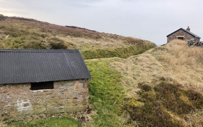
From The Street car park, this 8.4-mile southern section of Joe Brown Numbers orienteering challenge covers a wide expanse of moorland tracks, passing the ruins of Errwood Hall on the way.
The more difficult, northern section of Joe Brown’s orienteering challenge covers 11.5 miles and a steep climb up to Castle Naze. Completing the course using only Joe’s clues is quite a feat!