Railway Track Short Circular GPX
£1.50
Distance: 2 miles
Difficulty: Easy
Walk description & photos: Click to view
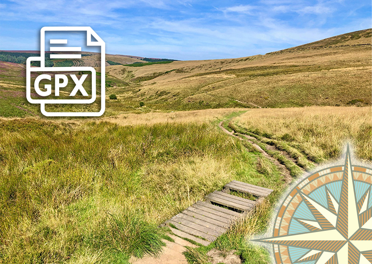
An easy 2-mile circular walk from the small car park beside the pond half way down Goyt’s Lane – the road leading down to the valley from the Buxton to Whaley Bridge Long Hill Road. The first half is along the old railway track. The second half is along a fairly narrow footpath which meanders down towards Errwood Reservoir. This walk turns back up the slope before reaching the reservoir, but it’s very easy to extend it further at both ends.
Click for information on how to install and follow a GPX file on all the most popular walking apps. (All proceeds will go towards the hosting costs of this website.)


Reviews
There are no reviews yet