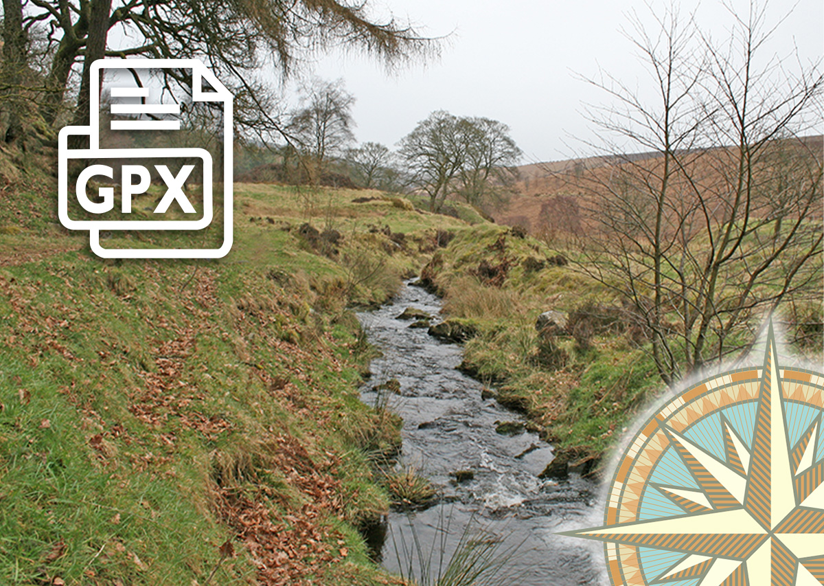
Errwood to Goytsclough GPX
£1.50
Distance: 5 miles
Difficulty: Moderate
Walk description & photos: Click to view
There’s a mix of easy walking along tree-lined footpaths with stony – and often muddy – tracks in this five mile circular walk. Starting from Errwood car park, it passes the ruins of Errwood Hall before rising across open moorland and then descending to Goytsclough. The historic packhorse bridge nestles in the valley beside Goytsclough. The Riverside path back to the car park is always a joy – at any time of year.
The starting point is Errwood Hall car park (Google map). Note that the road from the main car park at The Street is closed on bank holidays, as well as weekends between 1st May and 30th September. But it's an easy 10 minute stroll between the two car parks, along the attractive lane beside Errwood Reservoir.
Click for information on how to install and follow a GPX file on all the most popular walking apps. (All proceeds will go towards the hosting costs of this website.)
Related products

Reviews
There are no reviews yet