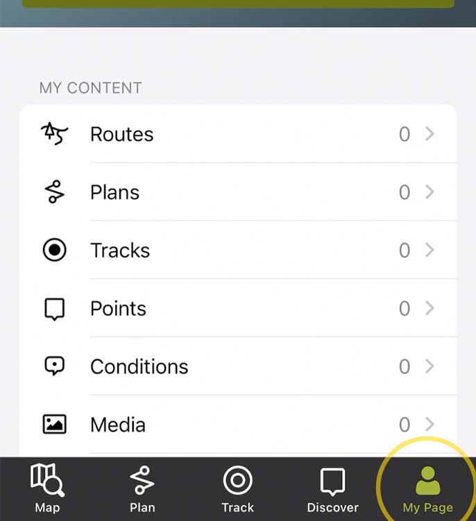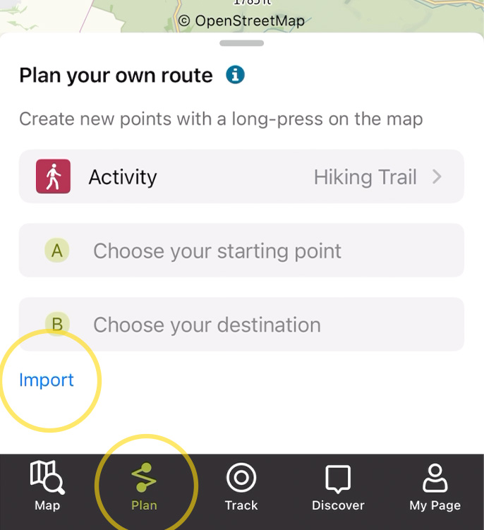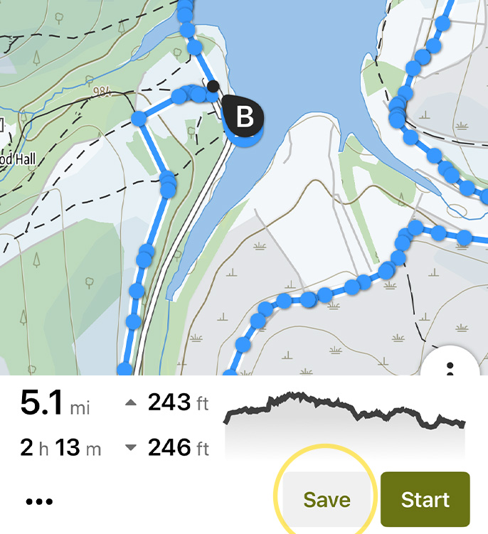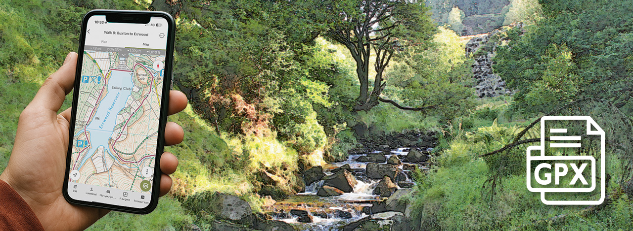
Above: Following the Buxton to Errwood Reservoir walk on OutdoorActive as it slopes down to the River Goyt.
Explore all the GPX files available on this website to follow any Goyt Valley walk.
Using a GPX file
I often come across people struggling to follow walk instructions – either on a phone or after printing them out. However detailed they are, it’s always easy to miss a narrow track, or misinterpret “diagonally left” as a completely different direction.
My advice is always to use a walking app so you can immediately see if you’ve taken a wrong turning. There are quite a few available for both Apple and Android phones, and most have a free option, although paying a subscription has many benefits.
You will need an internet connection (Wi-Fi or mobile data) to download or import a GPX file into a walking app. But once it’s loaded, the app uses GPS satellite signals to track your position, so no internet connection is required while walking. (GPX stands for GPS Exchange Format. GPS stands for Global Positioning System. A GPX file contains GPS data, and uses satellites to track where you are on a route.)
Goyt Valley GPX library
I’ve created GPX files for all the walks featured on this website. I’ve made a nominal charge of just £1.50 to download a file which will go towards the ever-increasing costs of hosting this website. Click here to view, purchase and download any Goyt Valley GPX file.
It’s very easy to upload these files onto any walking app, and then follow a route as you walk. This is a list of the most popular walking apps. (I use the paid-for version of OutdoorActive which gives me Ordnance Survey 1:25,000 maps.)
OutdoorActive : compare subscriptions
Ordnance Survey : compare subscriptions
Komoot : compare subscriptions
AllTrails : compare subscriptions
Strava : compare subscriptions
Using OutdoorActive
Click here for a detailed guide on how to upload and follow a GPX route using the OutdoorActive app.
