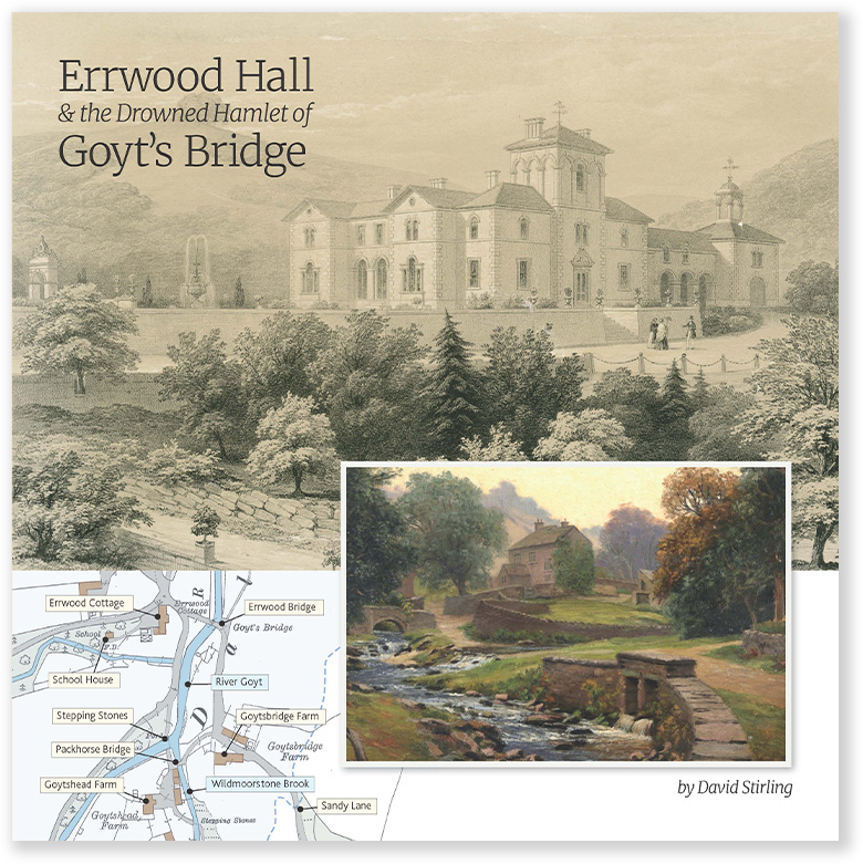
Above: Built around 1842, Errwood Hall lasted less that 100 years; demolished in the mid 1930s following the death of the last of the Grimshawe family.

A detailed, step-by-step description and map of this walk are available to download for just £2.50. A walking app GPX file is also available at £1.50. Save on both for just £3.50. All proceeds help cover the hosting costs of this website.
Length: 1.2mls | Av. time: 35mins | Ascent: 220ft
Start: Errwood Hall car park
Walk description, map & GPX | Download
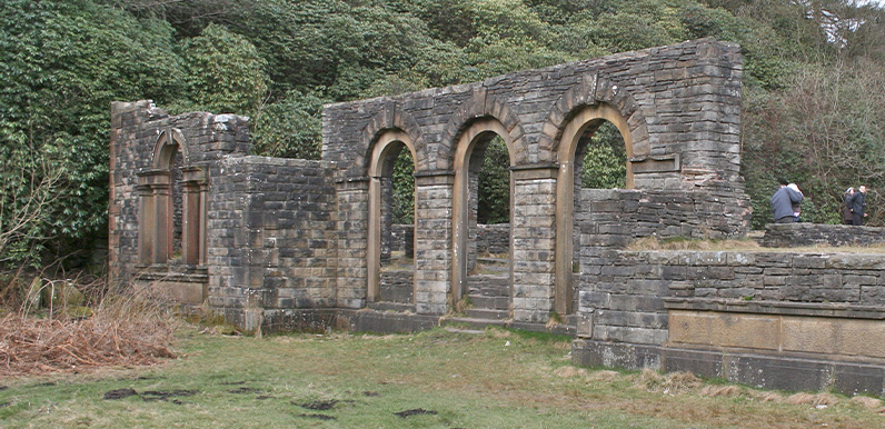
This is one of the most popular and easy walks in this part of the Goyt Valley; visiting the evocative ruins of Errwood Hall, before heading up the hillside to the Grimshawe family graves.
Crossing the stream
Forestry England recently removed a footbridge at point 9 on the description. It’s usually fairly easy to cross the stream over a series of stones but it can be more difficult after a lot of rain, or in winter when it gets muddy.
Route photos
Stages 1-6 of the route. Click any to enlarge and scroll through.
Relive video
Click to play and use the expand option to view in full-screen. More Goyt Valley Relives.