29. Joe Brown Numbers South
A detailed, step-by-step description and map of this walk are available to download for just £1.85. A walking app GPX file is also available at £1.50. Save on both for just £2.95. All proceeds help cover the hosting costs of this website.
Walk description…
Length: 8.4mls
Av. time: 3.50hrs
Ascent: 1115ft
Start: The Street car park
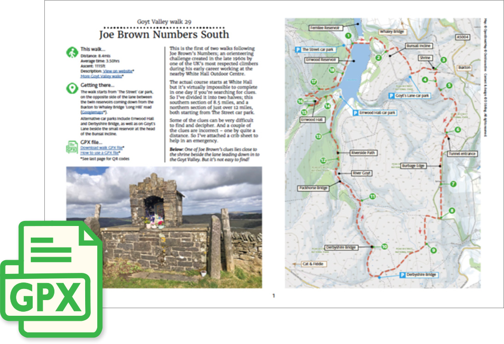
This is the first of two walks following Joe Brown’s Numbers; an orienteering challenge created in the late 1960s by one of the UK’s most respected climbers during his early career working at the nearby White Hall Outdoor Centre.
The actual course starts at White Hall but it’s virtually impossible to complete in one day if you’re searching for clues. So I’ve divided it into two halves; this southern section of 8.5 miles, and a northern section of just over 12 miles, both starting from The Street car park.
Some of the clues can be very difficult to find and decipher. And a couple of the clues are incorrect – one by quite a distance. So I’ve attached a crib sheet to help in an emergency.
‘Relive’ video…
Click to play. Click expand button to view in full screen.