Above: The historic packhorse bridge spans the Goyt at the far south of this walk.

Click for a pdf with stage-by-stage details of the route including photos and a map, as well as links to car parks and public transport. A walking app GPX file is also available.
Length: 2.3mls | Av. time: 1hr | Ascent: 197ft
Start: Errwood Hall car park | Google Map
Walk description, map & GPX | Download
A 2.3-mile circular walk from Errwood Hall car park, down to the River Goyt and the old packhorse bridge, returning along the lane. It’s probably the easiest walk in this series, but it takes in one of the most scenic spots in the valley.
The path drops down to the river, which this far up the valley is more of a stream – shallow, clear and lined with good places for a picnic.
Part of the route follows a solid track beside the river, ideal for wheelchair users and families with pushchairs. There’s a small layby just beyond the gate at point 4 on the pdf map if you’d rather park right next to this easy section.
The packhorse bridge
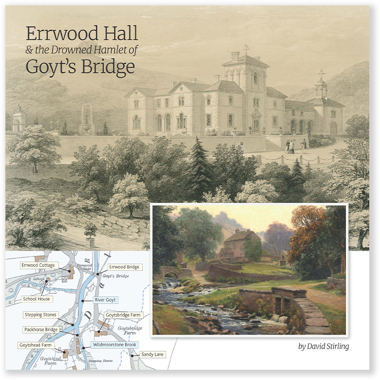
The walk then continues to the packhorse bridge. It originally stood at Goyt’s Bridge, the hamlet now under Errwood Reservoir. A small plaque beside it explains that it was rebuilt here in 1965, during the reservoir’s construction.
From the bridge, the route returns to the car park along the narrow lane. It’s one-way, so cars will be coming towards you.
Click for a pdf with stage-by-stage details of the route including photos and a map, as well as links to car parks and public transport. A walking app GPX file is also available.
Route photos
Stages 1-6 of the route. Click any to enlarge and scroll through.
Relive video
Click to play and use the expand option to view in full-screen. More Goyt Valley Relives.