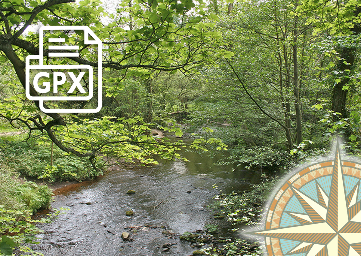
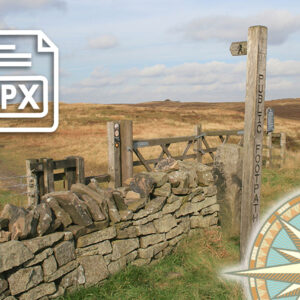
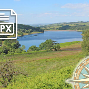
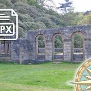
Taxal Edge GPX
£1.50
Distance: 7.5 miles
Difficulty: Moderate
Walk description & photos: Click to view
This 7.5 mile circular walk starts from The Street car park, and passes along a forest track before climbing up to the ridge of Taxal Edge. The walk then drops down to the attractive hamlet of Taxal, with its picturesque church, before returning along the bank of the River Goyt.
This wonderfully scenic and tranquil river-side section reveals what was lost when the valley was flooded. The GPX route returns along the western bank of Fernilee Reservoir, but there's the option of using the old railway track on the eastern side.
Click for information on how to install and follow a GPX file on all the most popular walking apps. (All proceeds will go towards the hosting costs of this website.)
1 review for Taxal Edge GPX
Related products

Cathy J. (verified owner) –
We did the shorter walk. some of this walk had quite steep inclines, so we were glad of the shortcut, although the gravel path is steep. There were also long stretches of flatter paths. At waypoint 5, there are 2 gates at 90 degrees. The right-hand gate is the one you need, then head towards the pine trees. It’s a scenic and varied walk. The GPX trail was useful at times.