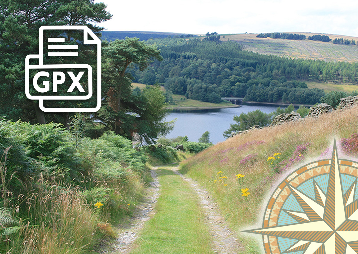
Old Goyt’s Lane GPX
£1.50
Distance: 3 miles
Difficulty: Easy
Walk description & photos: Click to view
This easy, three-mile circular walk follows the old lane which was once the main route into the hamlet of Goyt’s Bridge from Buxton. It then meanders across open moorland before returning along the disused track of the High Peak Railway line. The walk can get muddy along the moorland section, but it’s one of the easiest in this series. And includes some wonderful views, both across Errwood Reservoir, and from the old railway track.
Click for information on how to install and follow a GPX file on all the most popular walking apps. (All proceeds will go towards the hosting costs of this website.)
Related products


Reviews
There are no reviews yet