C&HP Railway GPX
£1.50
Distance: 9 miles
Difficulty: Moderate
Walk description & photos: Click to view
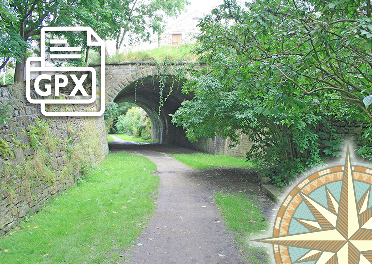
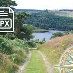
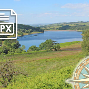
The walk traces the northern section of the Cromford and High Peak Railway, from Burbage on the outskirts of Buxton, through the beautifully scenic Goyt Valley, to its end point at the canal basin in Whaley Bridge. The best way to return to Buxton is by train.
Some of the route is now on private land and inaccessible, so there are a few detours, including small sections beside the road. And some parts can also get overgrown in late Summer, so early Spring is perhaps a better time.
Click for information on how to install and follow a GPX file on all the most popular walking apps. (All proceeds will go towards the hosting costs of this website.)
Related products

Reviews
There are no reviews yet